 |
On Frisian waterways September 2012 |
|
Log book Netherlands September 2012
|
|
back to
main page |
|
|
|
|

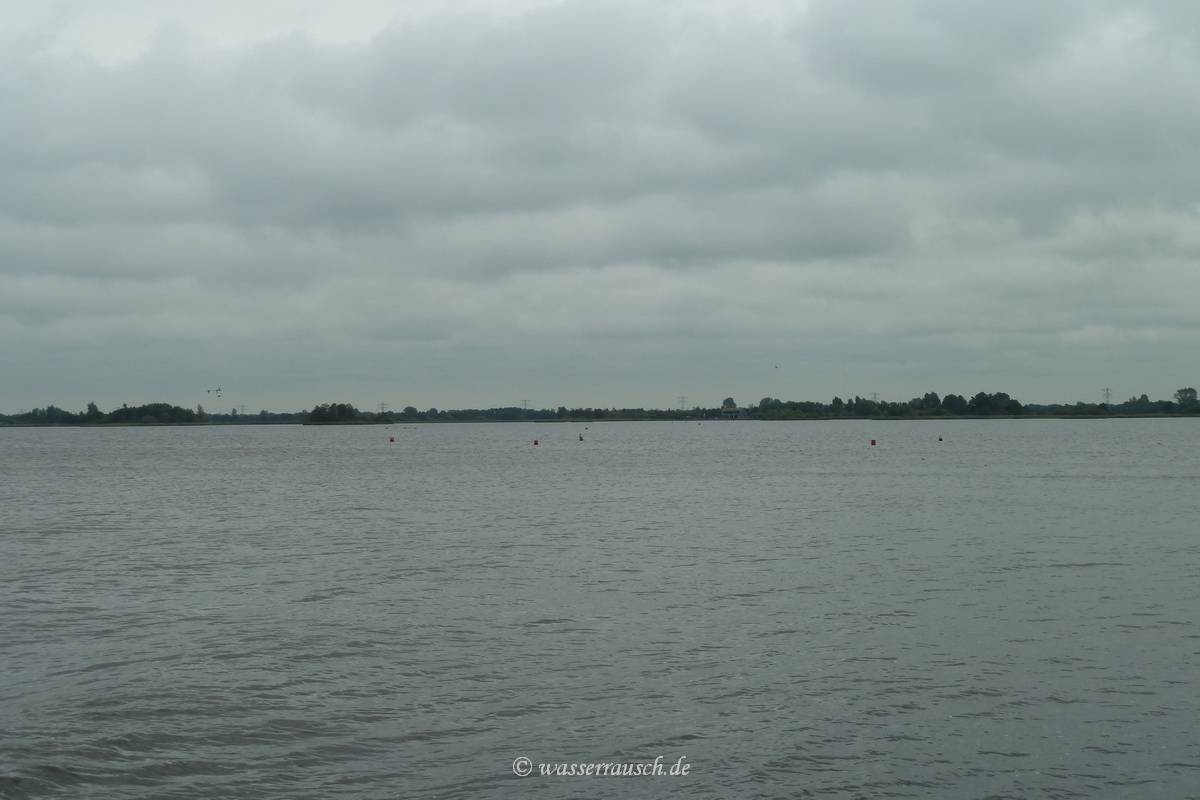
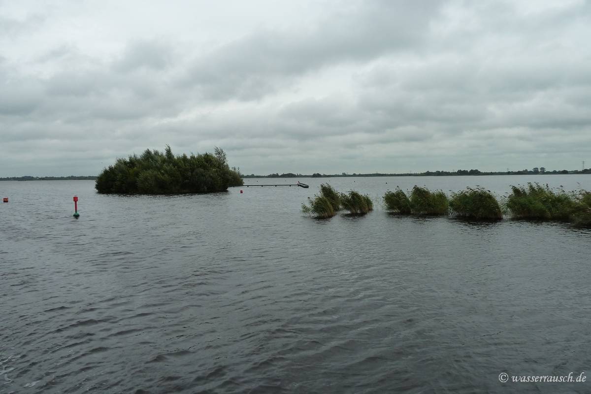
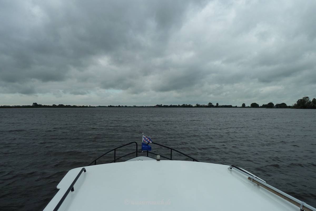
Wednesday 26/09/2012 Eastermar - Alde Feanan, Grutte Kritte, Princendijk South - Alde Feanan, Grutte Kritte, Princendijk North Length of boat trip: 5.25 hours Motto of the day: Fenworld It is dry but dull and windy when we start going south on the river Lits and the shallow lake De Leien.
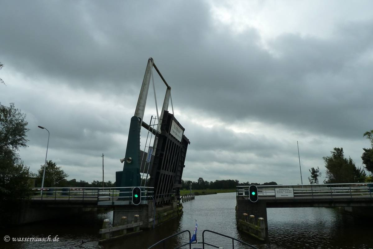
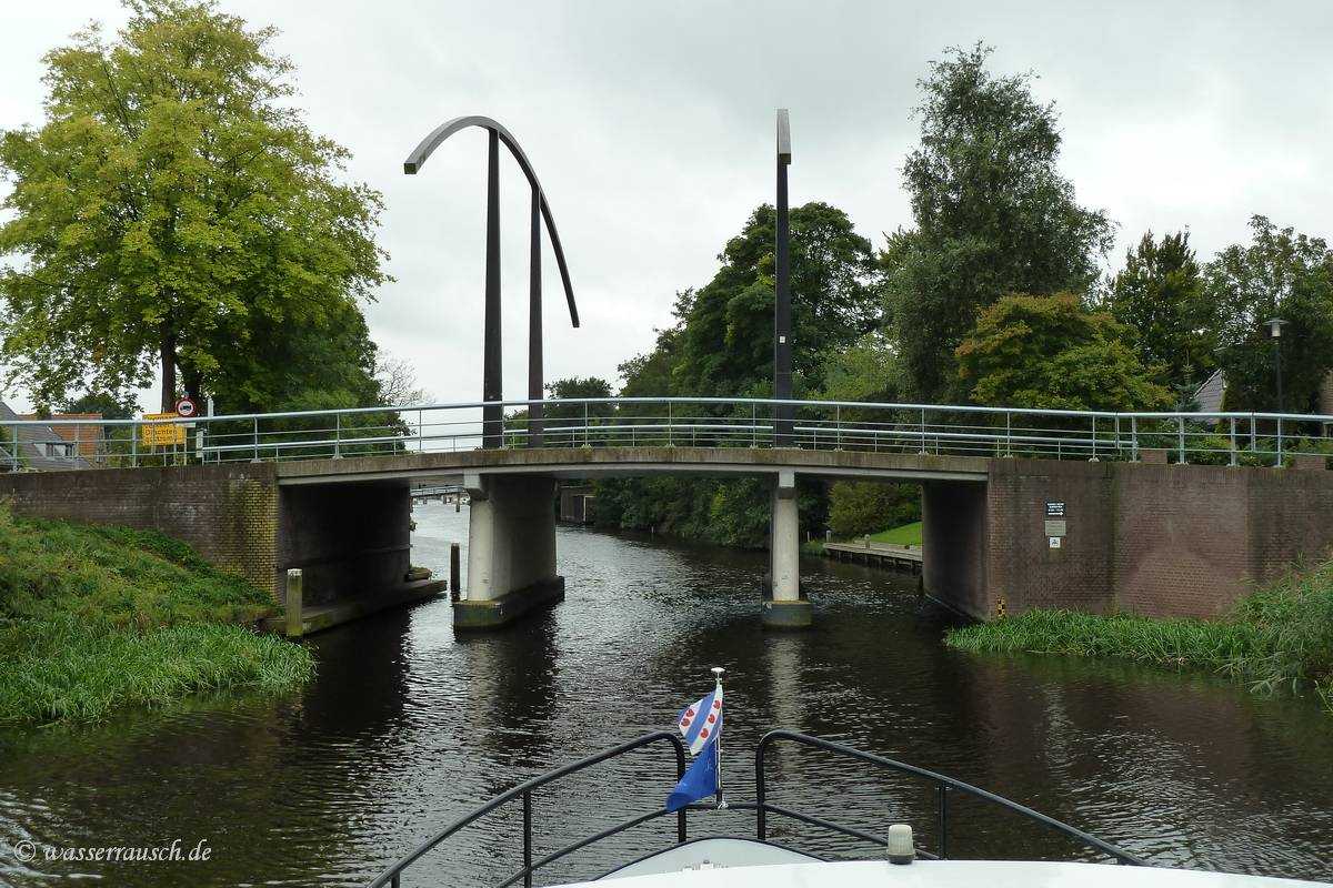
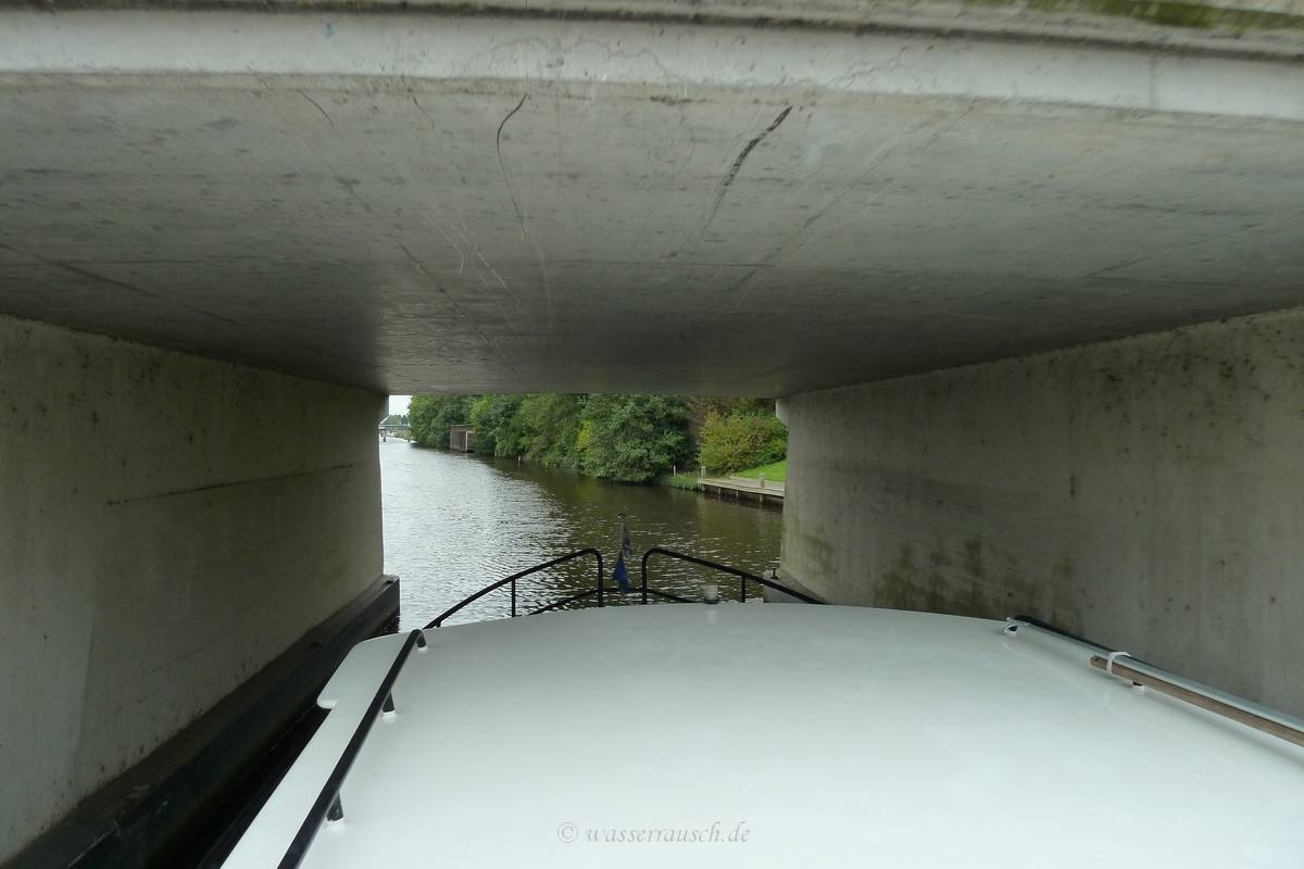
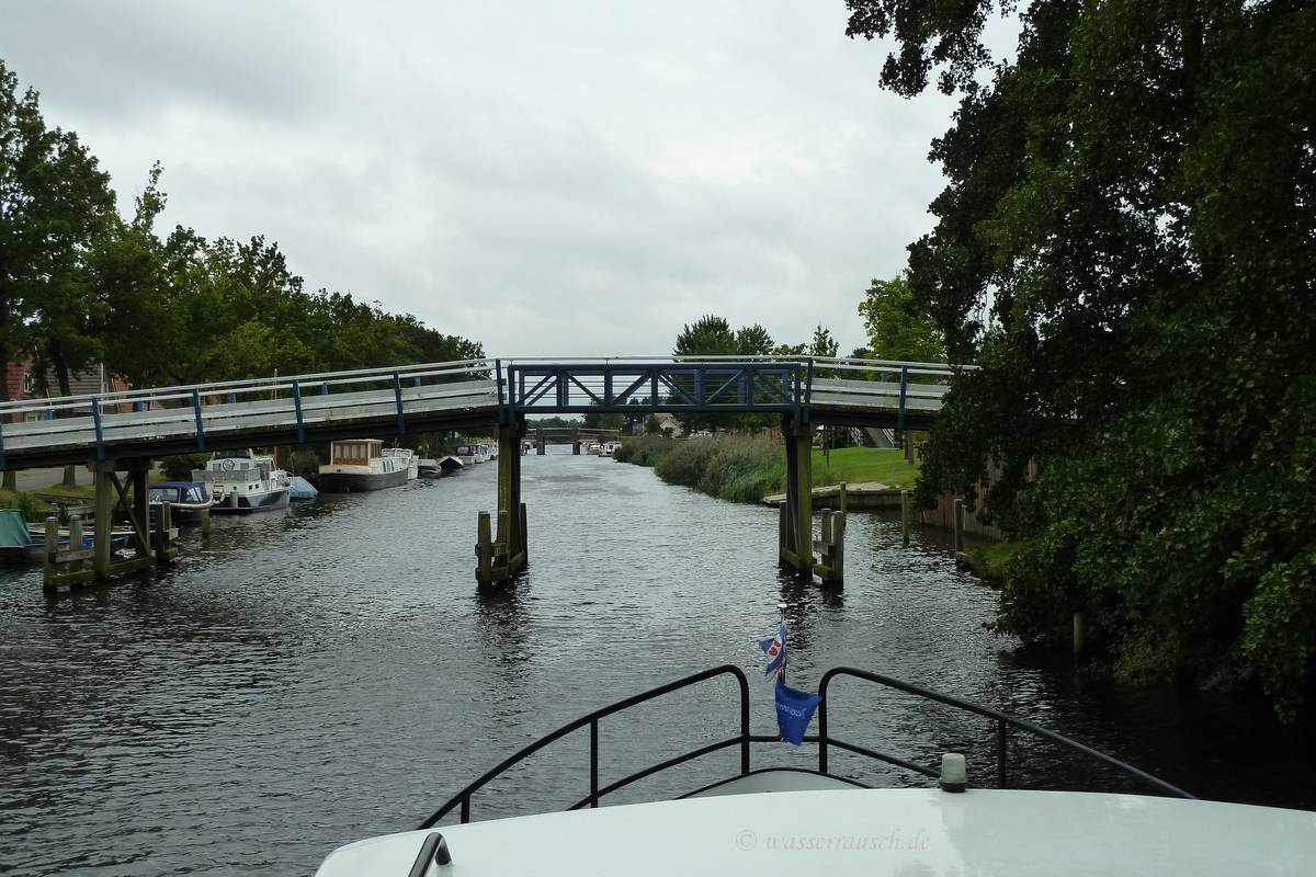
We now have to pass a couple of low bridges on the Peinder Kanaal.
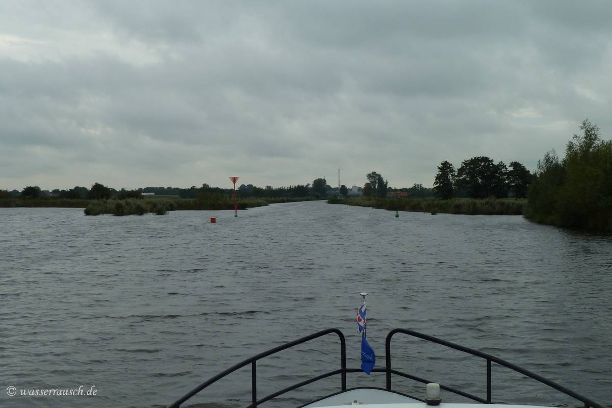
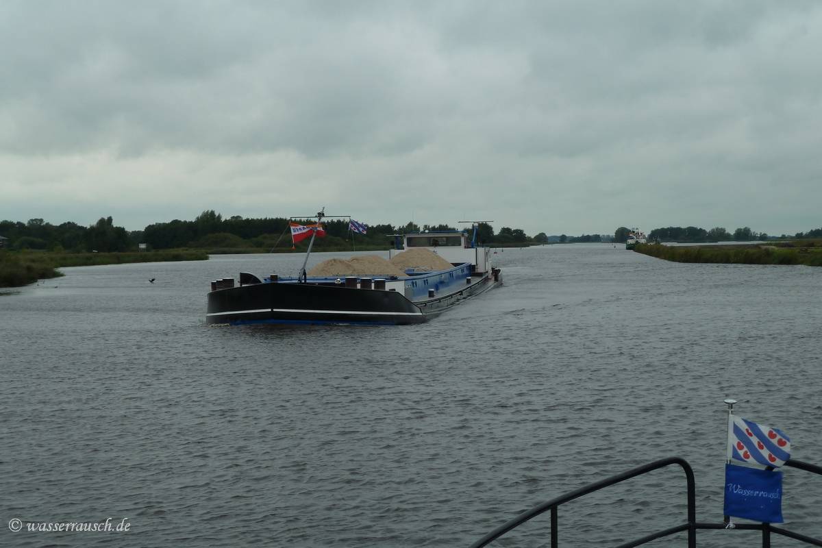
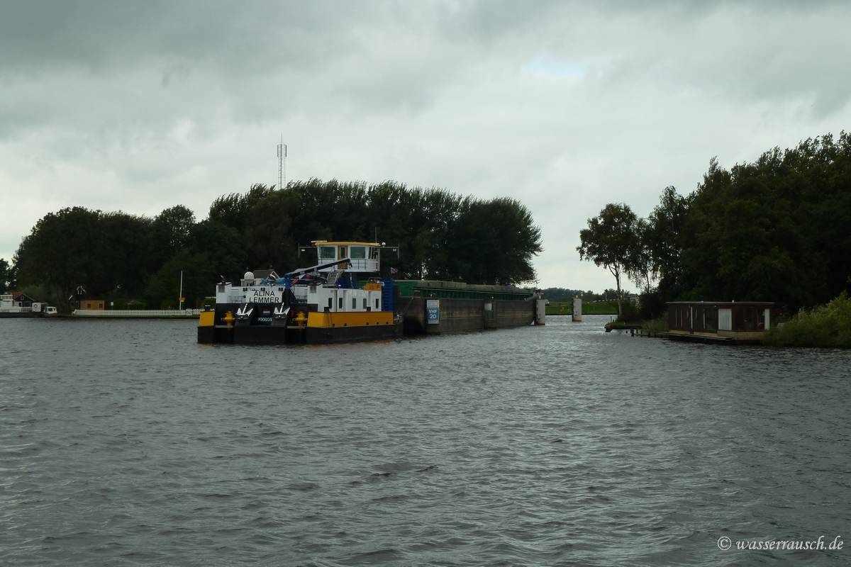
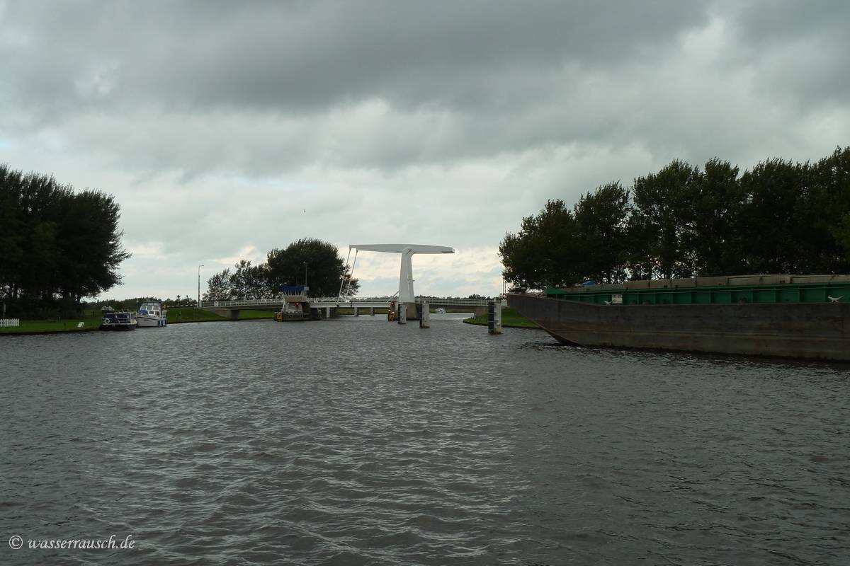
After the last bridge in Opeinde higher boats are moored along the shore. We are now back on waterways which also allow commercial traffic to reach the city Drachten.
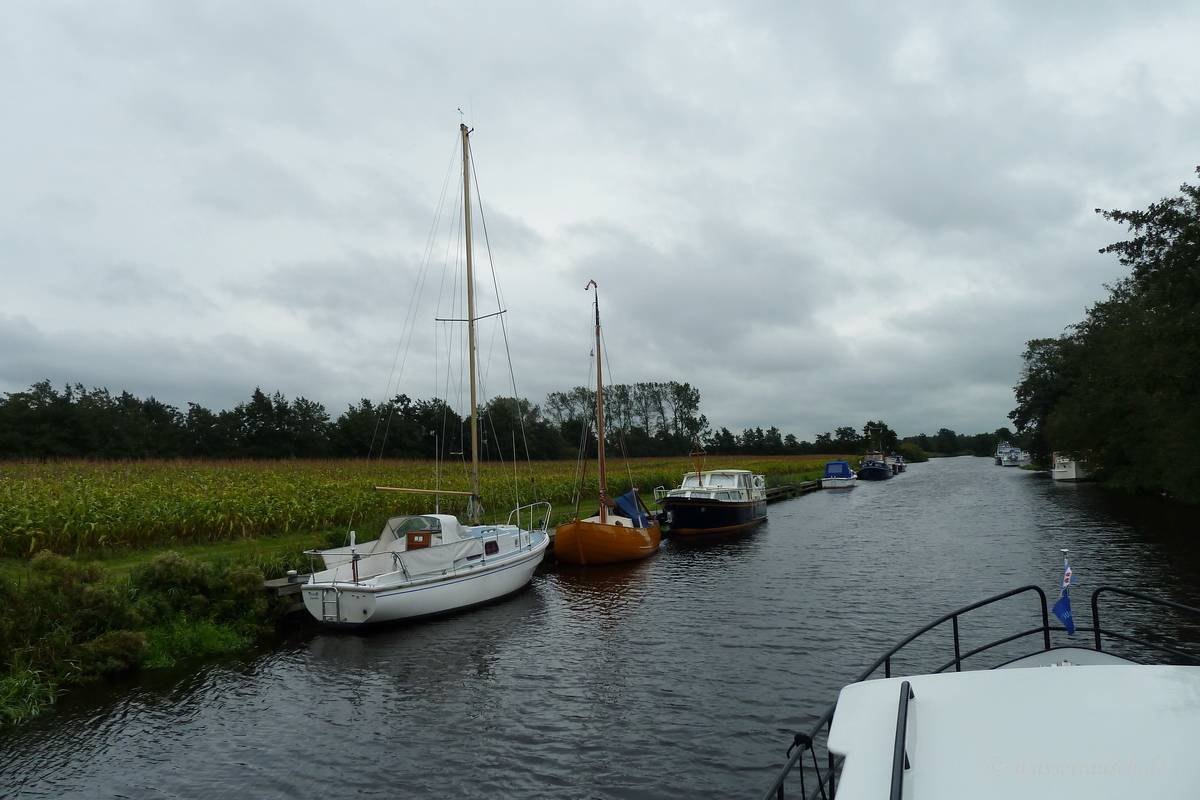
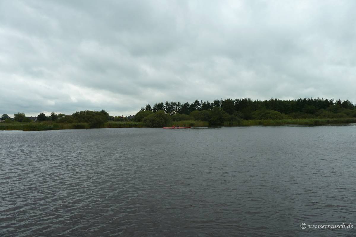
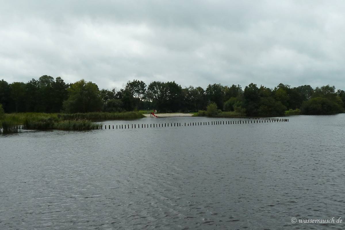
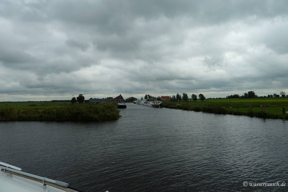
But as usual there are also small boats underway and the swimming pool has of course a breakwater.
We pass at the end of the Wide Ie the entrance of the Headamsleat which leads to the Prinses-Magriet-Kanaal.
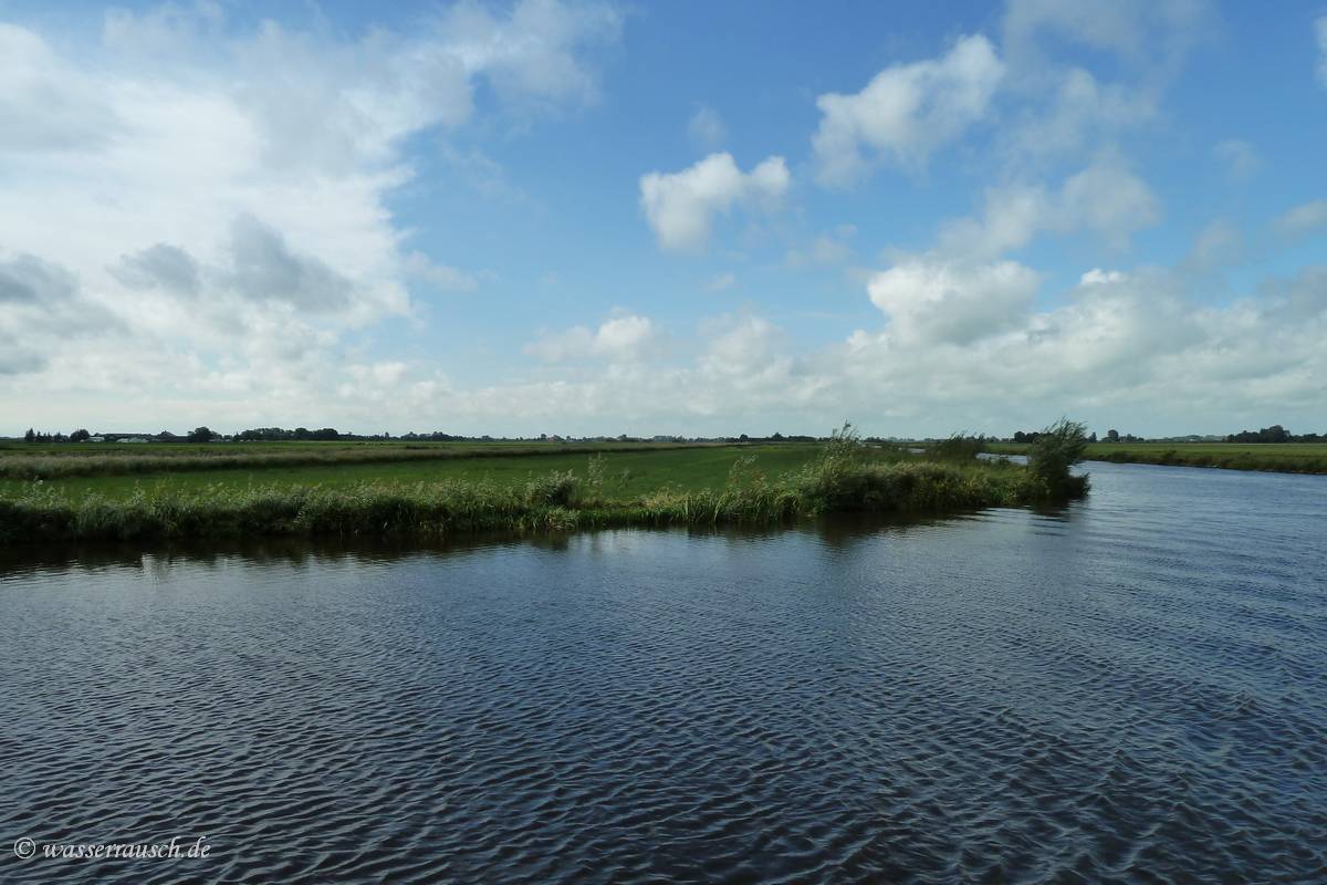
We drive on through Grytmansrak and Krumme Ie to the Sitebuorster Ie, and then north and on De Geau back eastwards.
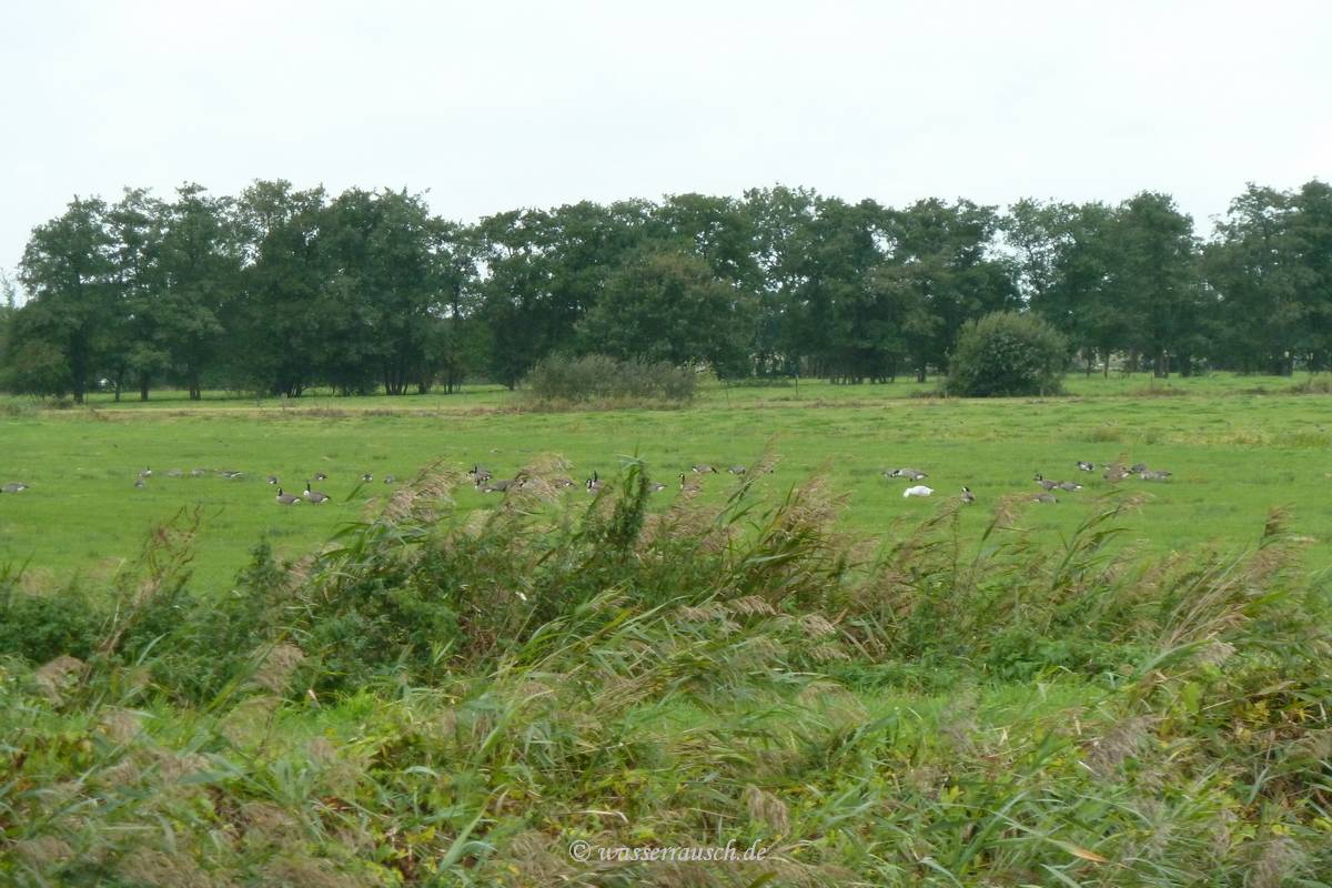
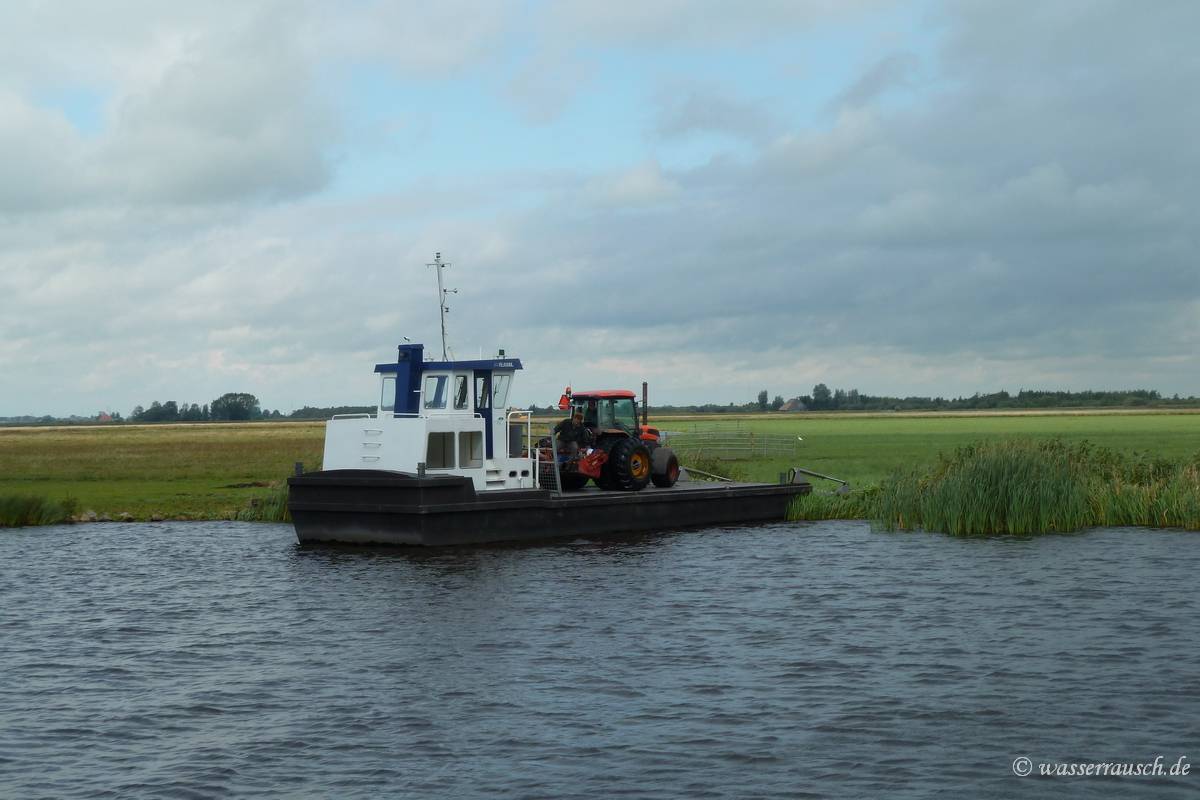
Here we spot a farmer ferrying his tractor.
|
Mainpage Wasserrausch Contact Imprint
Copyright Tina und Willi Klug 2012