 |
The boat trip in April 2009 |
|
Log book Ireland April 2009
|
|
back to the
main page |
|
|
|
|

|
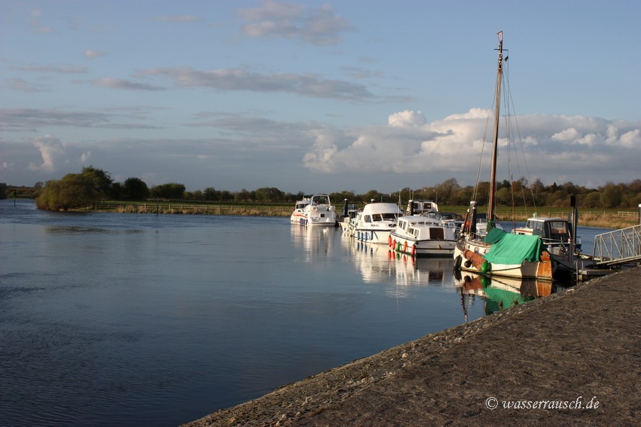
Tuesday 14/04/09 Hodson Bay - Shannonbridge Length of boat trip: 2.1 hours Motto of the day: The Shannon Callows and the commercialization of a historic place
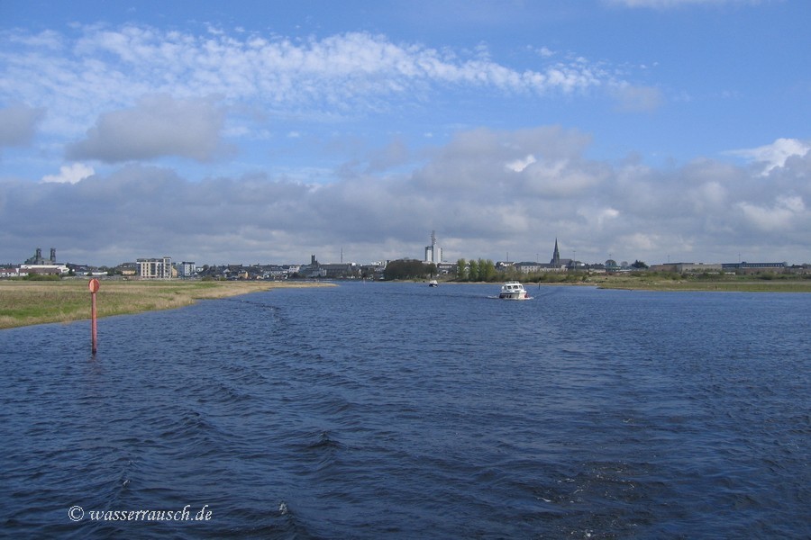
The day starts sunny with a bright blue sky and we are amused at a shadow boxing boy. First we have less wind of less than F3 but later it increases to F5, however, the day is dry, only some clouds arrive. We reach Athlone; Áth Lúain; Furt von Lúan; on the south end of Lough Ree, located at a ford. This ford was the reason why a canal was built in 1757. The old Athlone canal became disused, when the Athlone Lock and the weir were built.
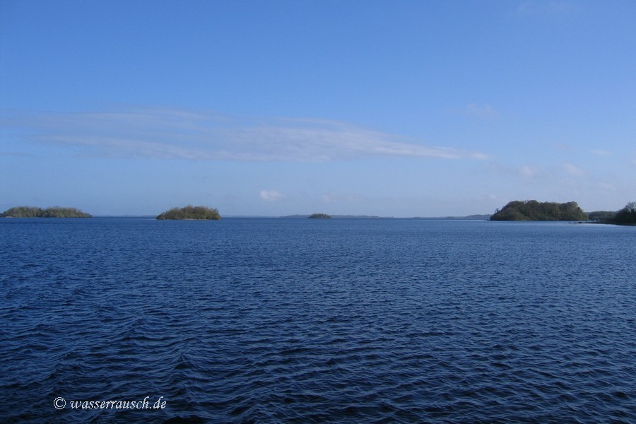
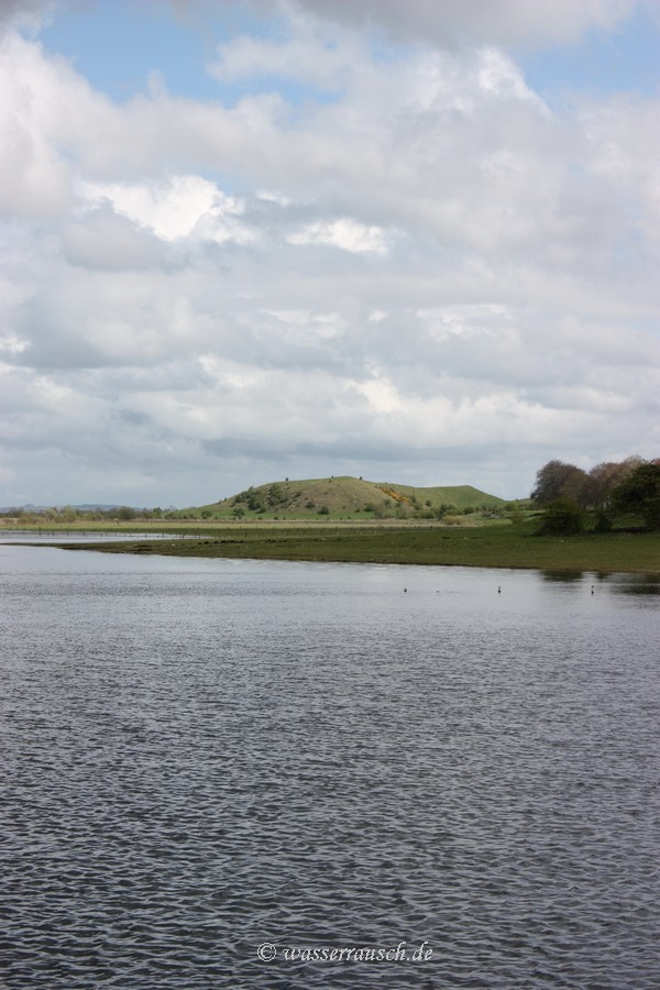
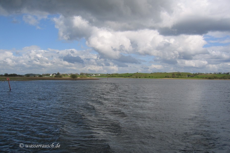
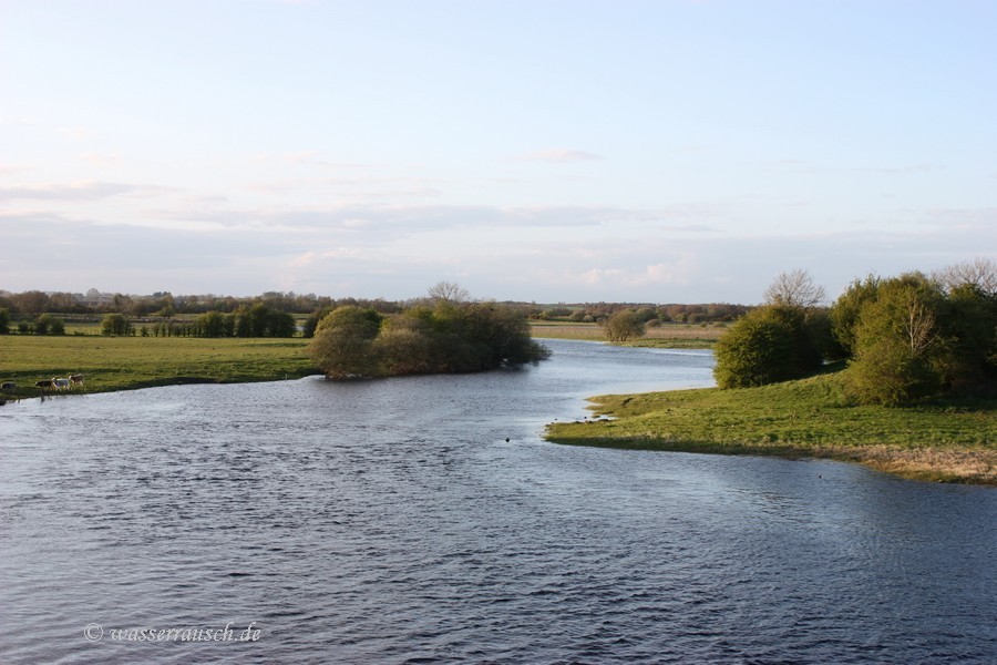
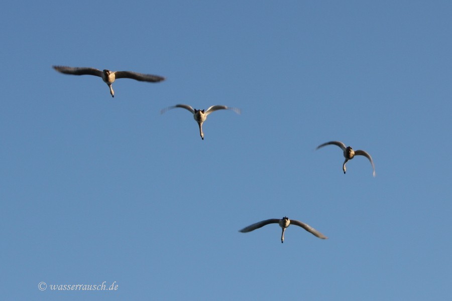
We reach the Shannon Callows (Map 7); Shannon Caladh. This river landscape is unique and a great natural river flood-plain, one of the few relatively unmodified flood-plains in Europe. Thank heaven the Celtic Tiger hasnt eaten it! Between Athlone and Portumna there are no significant building sins except for Clonmacnoise. The river landscape is flat. During low summer level it is a breeding area for a lot of waders and other birds. During the winter with the flooding of the Callows the Shannon becomes partly a lake kilometres wide and ten of thousands birds winter here. Swampy meadows and bogs line our way. The farms are lying on the rare postglacial hills. Traditional farming is extensive but the use of phosphate fertilizer and the intensification of hay makes it precarious. This and the summer flooding during the past two years are also not helping to safeguard the stock of breeding birds. The numbers of Greenland Whitefront Geese, Lapwings, Curlews, Snipes and Redshanks, especially, are declining. At Clonmacnoise a hill is blocking the Shannon and we go around this to the jetty. This small peak is part of the Esker Riada; Escir Riada. This strung-out esker with ice-age deposits reaches in a line from Dublin to Galway. In times long ago this ridge was a good way to travel from east to west and back, a safe passage across the bogs of the Central Plain. It may have also been a political border before the Christian times. But now there is a border between the magic landscape, it's wideness and undisturbed quiet, only interrupted by a boat or the cry of a curlew, and on the other hand the busloads of tourists who congregate at this magic place, one of many attractions on their fast tour around. "No landscape can have changed so little in a thousand years." has L. T. C. Rolt written in 'Green and Silver' but the marketing of this historical monuments has changed since then. To reach the interior of churches he had to beat his way through nettles in 1946. The visitor today has to pay to enter and masses of people are sluiced through it. From my point of view the attached postmodern buildings are on the same level as the "shake-like wooden structure" with a jerry-built altar in Rolt's times. He has written about it: "It was, we understood, used on the occasion of organized pilgramages to Clonmacnoise. What, I wondered, would St. Ciaran make of this latter-day product of the faith which once reared the great High Cross and these tall towers? To remove it would be a more fitting act of piety than a dozen pilgrimages." The Bog of Allen; Móin Alúine; an area of about 1150 km² (Irish Peatland Conservation Council) reaches from Dublin to the River Shannon. At many places turf is cut to supply the power station at Shannonbridge. A wide range of railway lines were build in the bogs but since this year are no longer accessible to visitors. The "Bog Train" near Shannonbridge is now closed. The highest ridges in the Bog of Allen near the Shannon are in the east the Slieve Bloom Mountains of folded shale, rising up to 527 m. Although early settlements were found in the Shannon Callows, dating back to 6500 BC, our prehistory ancestors had prefered the Drumlin Belt and the sides of the higher mountains and not the heavy soil of the bogs and pastures.
After a lunch and a walk at Clonmacnoise we leave and go further on to Shannonbridge. The evening is quiet and the wind slackens.
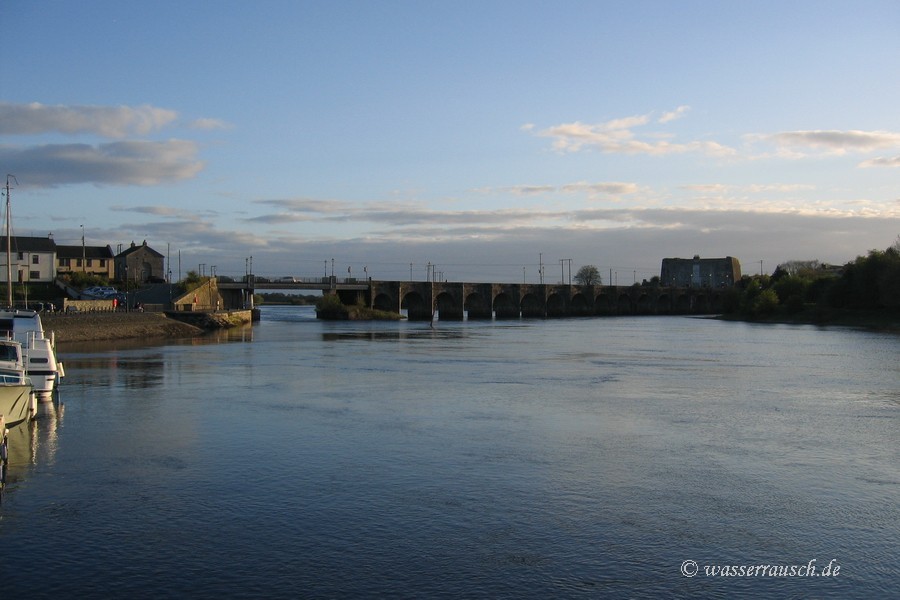
Wednesday 15/04/2009 Shannonbridge - Portumna Castle Length of boat trip: 3.7 hours Motto of the day: A dull day The day stars dull and cloudy and it remains grey the whole day without sun. The wind has changed direction from SE to NE blowing again F3-5. South of Shannonbridge runs the River Suck coming from Ballinasloe (one lock) into the Shannon (Map 8). We pass the entrance and drive past, leaving Shannon Harbour on the left where the Grand Canal from Dublin reaches the Shannon, onto Banagher. Here we have a short stop. Further on we reach a more and more meandering part of the Shannon and Victoria Lock at Meelick. Our trip after lunch goes further south to Portumna where we leave the Shannon Callows driving through the opened new swing bridge and reach Lough Derg. Here we stay overnight at Portumna Castle Harbour. |
Mainpage Wasserrausch Contact Imprint
Copyright Tina und Willi Klug 2009