 |
On the River Shannon October 2011 |
|
Log book Ireland October 2011
|
|
back to
main page |
|
|
|
|

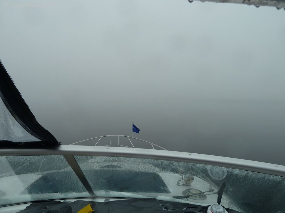
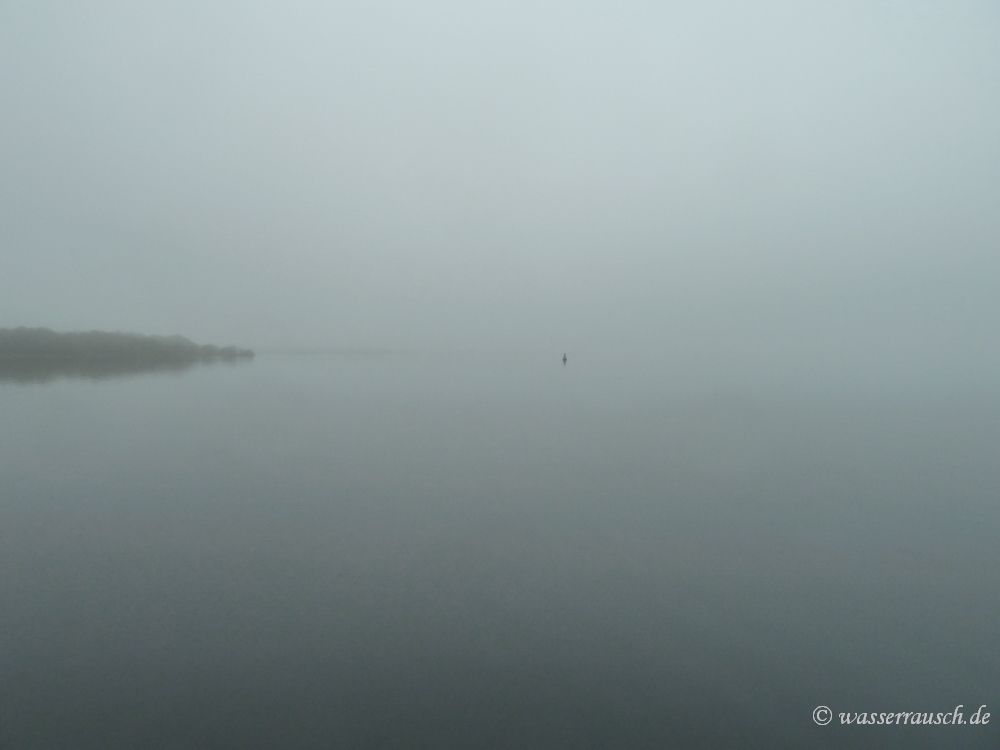
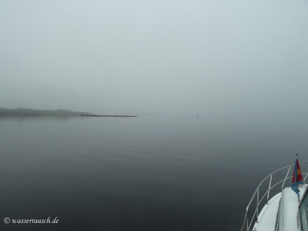
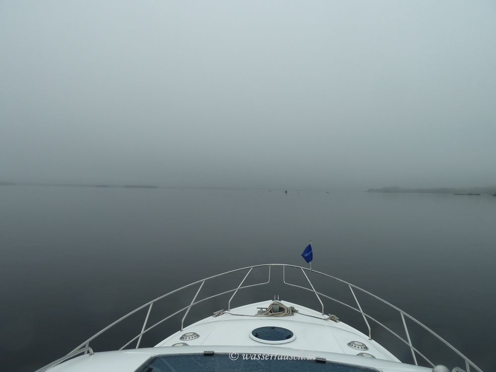
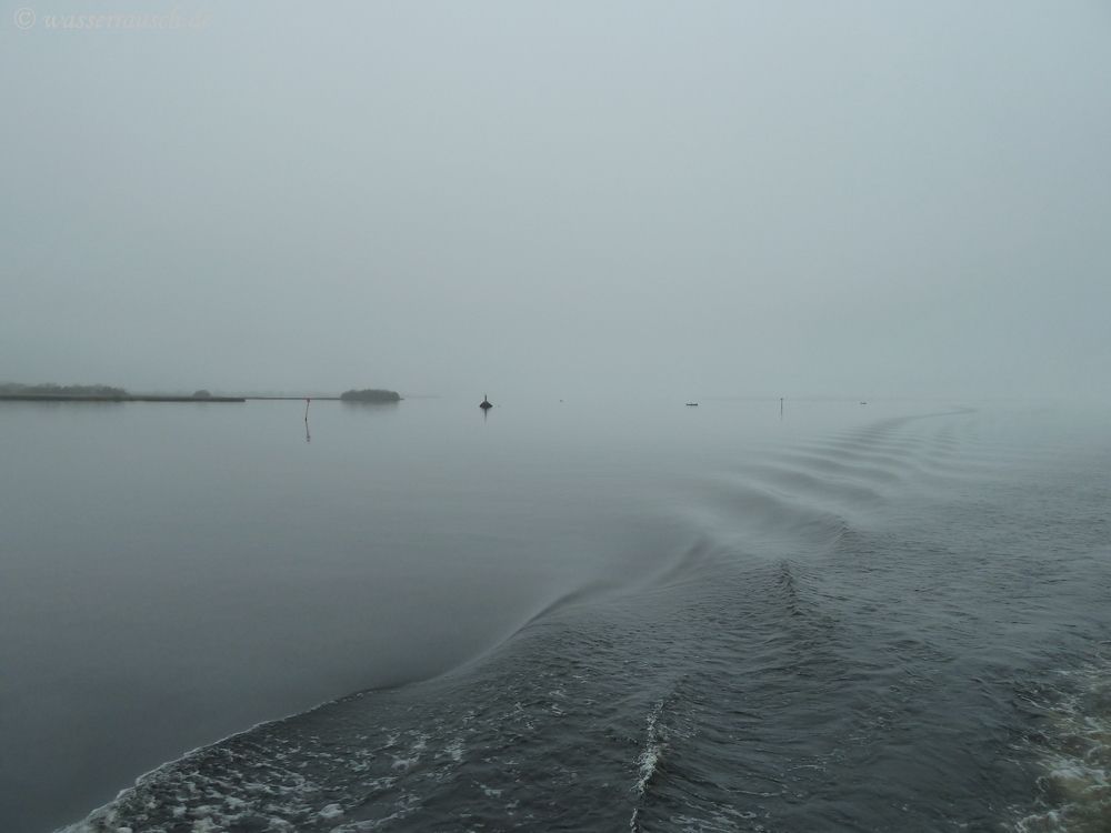
The lake is flat and calm but the church at Terryglass is barely visible when we start. The red buoy J is totally covered by the fog. But we know the route. After finding the black buoy H at Gortmore Point we nearly get lost in the dense fog but a 210° course brings us back on route.
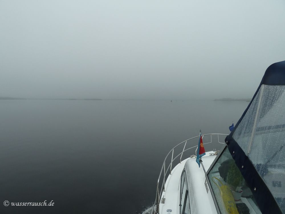
A RIB is passing from behind at high speed and one member of the crew waves for us to follow but the boat vanishes in the fog a minute later. After a while we discover Goats Road.
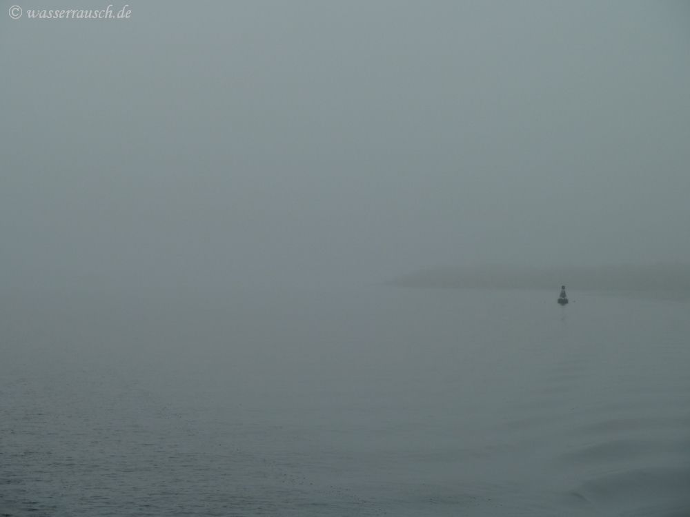
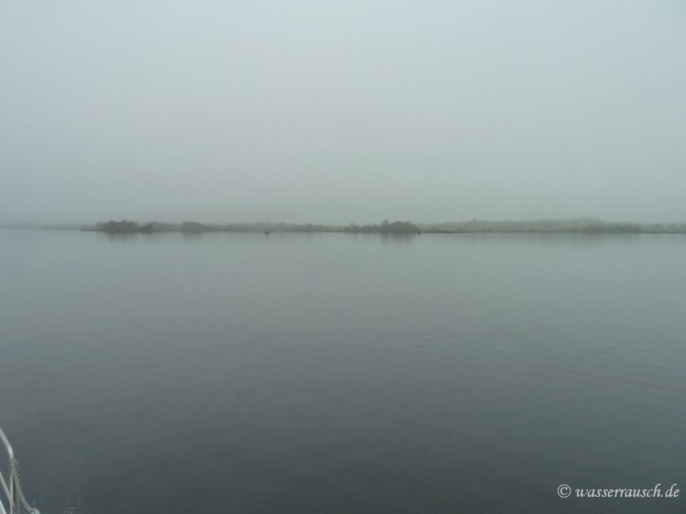
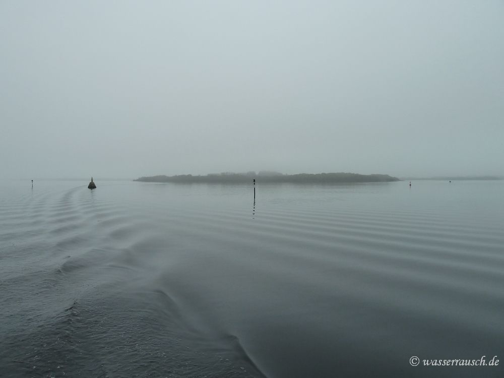
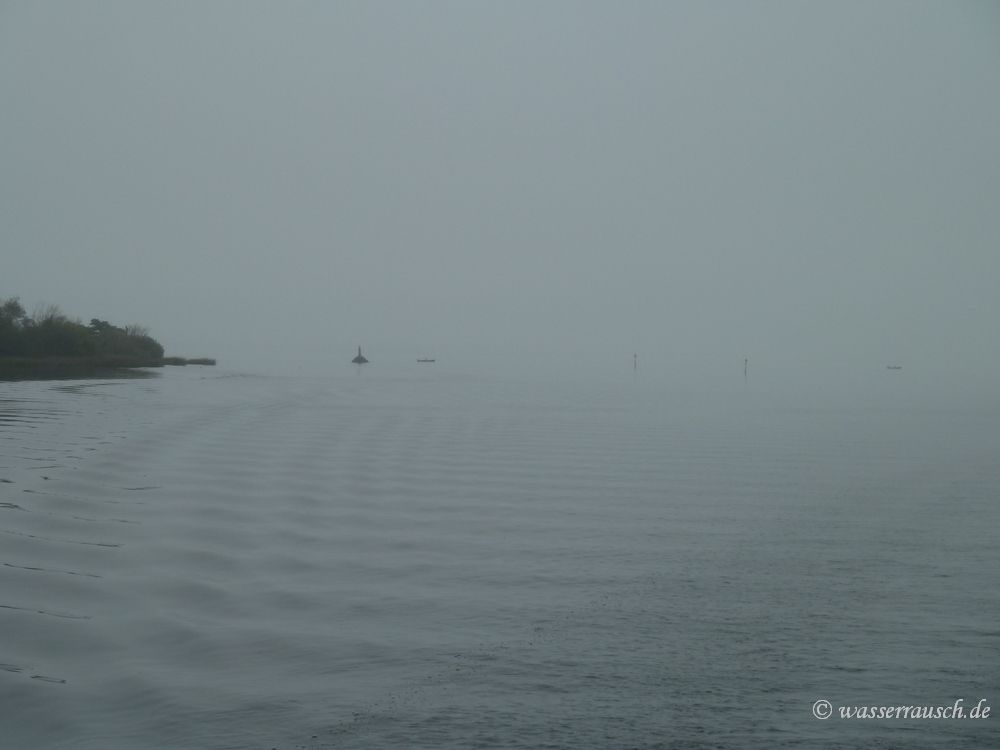
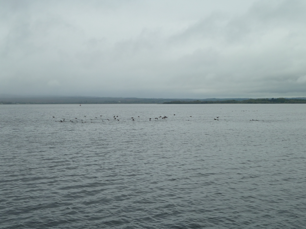
Could it be Illaunmore in the back? And what are these black points? Are they boats or cairns?
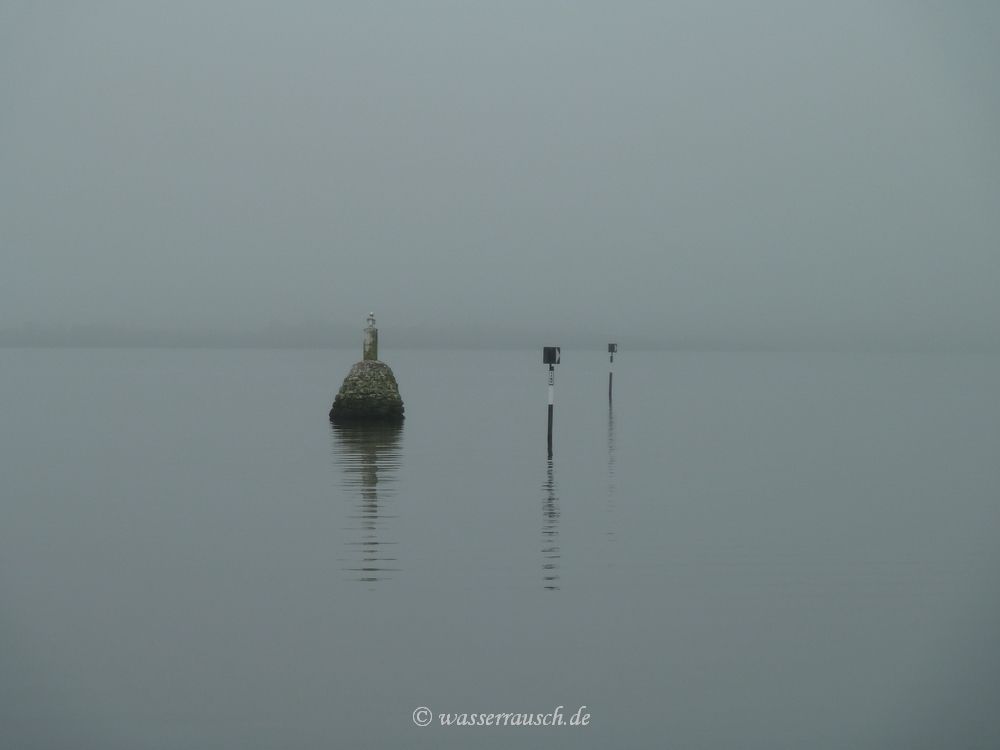
Both, as we can see coming closer. We pass the two Beacons north of Williamstown Harbour.
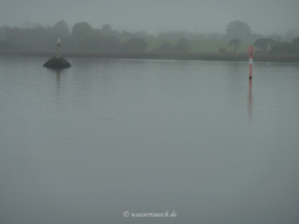
The small fishing boats seem to waft in grey fog.
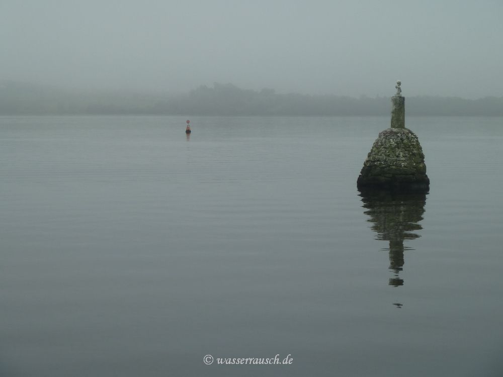
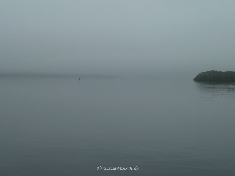
Then the mist lifts softly and we spot Parkers Point in the distance. We pass Hare Island where a blue and a white buoy marks a recently sunken sailing boat.
We reach Mountshannon where we spend a couple of hours. Before we leave to go back up the lake in the afternoon, Kevin and Fiona come along for a chat. While talking we hear a very loud noise. I initially believe that it could be a seaplane but then we spot a Hovercraft, which is launched at the slipway. The fog has lifted but there is less traffic when we drive to Terryglass.
|

Mainpage Wasserrausch Contact Imprint
Copyright Tina und Willi Klug 2011