 |
The boat trip in April 2008 |
|
Log book Ireland April 2008
|
|
back to the
main page |
|
|
|
|

|
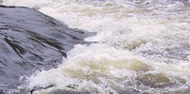
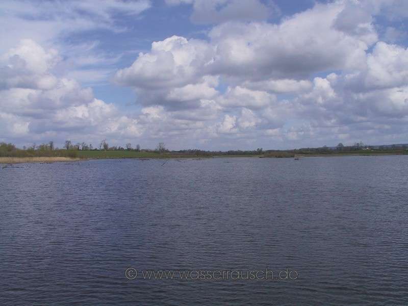
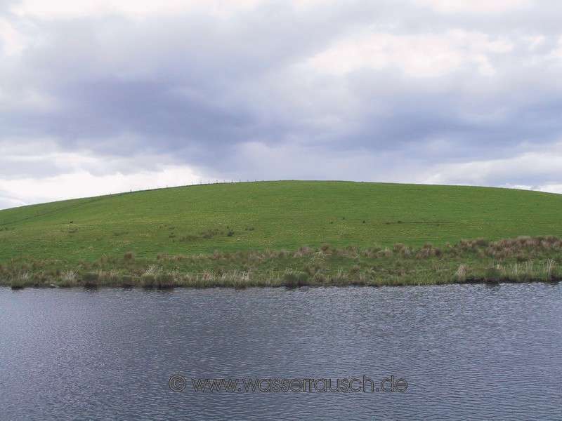
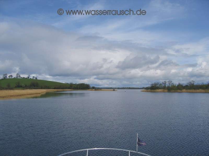
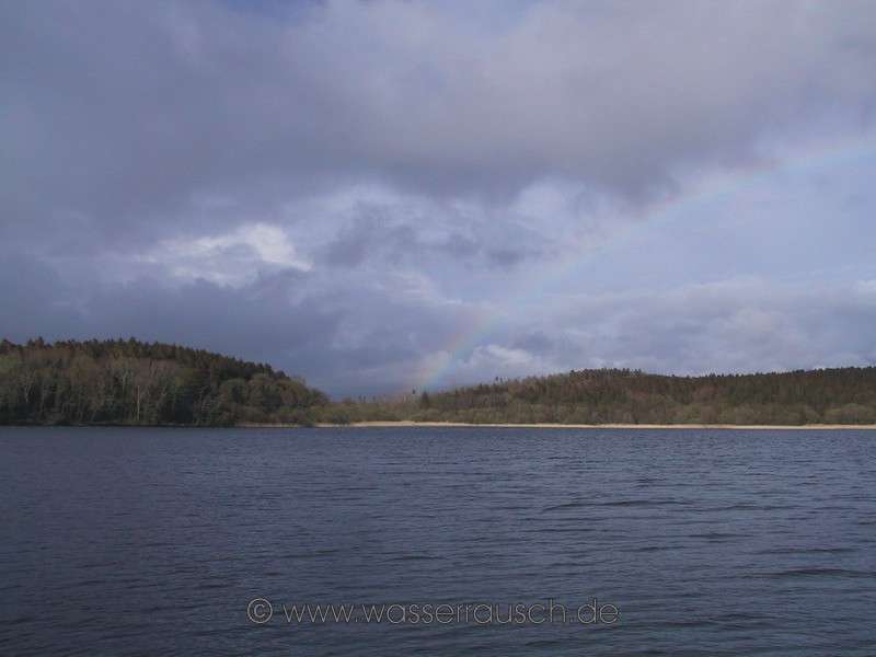
Sunday 27.04.2008 Quivvy Waters - Naan Island - Tully Inishmore Length of boat trip: 4.4 hours Motto des Tages: Broad view and again lunch on the flybridge A brilliant blue sky greets us in the morning. It is very mild and there is hardly a breeze. We go the same way back to the Erne and through Foalis Cut to the Upper Lough Erne, where we drive on the eastern shallow route along the island Inishcorkish. The water level is abnormally low for this time of year and therefore we navigate very slowly. This gives us a lot of time to look at the landscape. The eastern shore of Upper Lough Erne is rather flat and marshy in parts. Particularly the Cole Brooke River brings alluvial sand and trees each year. Some distance from the shore the town of Lisnakea can be seen. As on the southwestern side of the lake, here are numerous drumlins covered with thick glacial deposits also. In the background is a ridge, a plateau primarily of sandstone, which was shaped by the southeast moving ice. The highest tops between forested plateaus and valleys are sparsely covered with vegetation, although the heights are less than 350 metres. The highest hill towards the east is the rounded Slieve Beagh (380m).
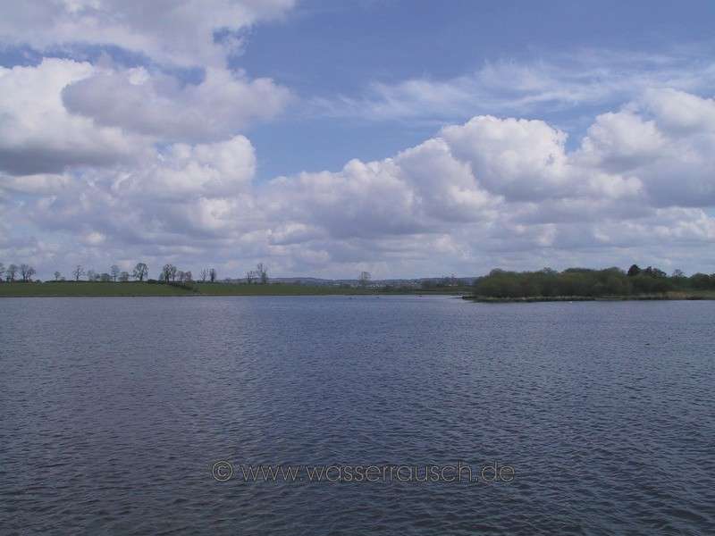
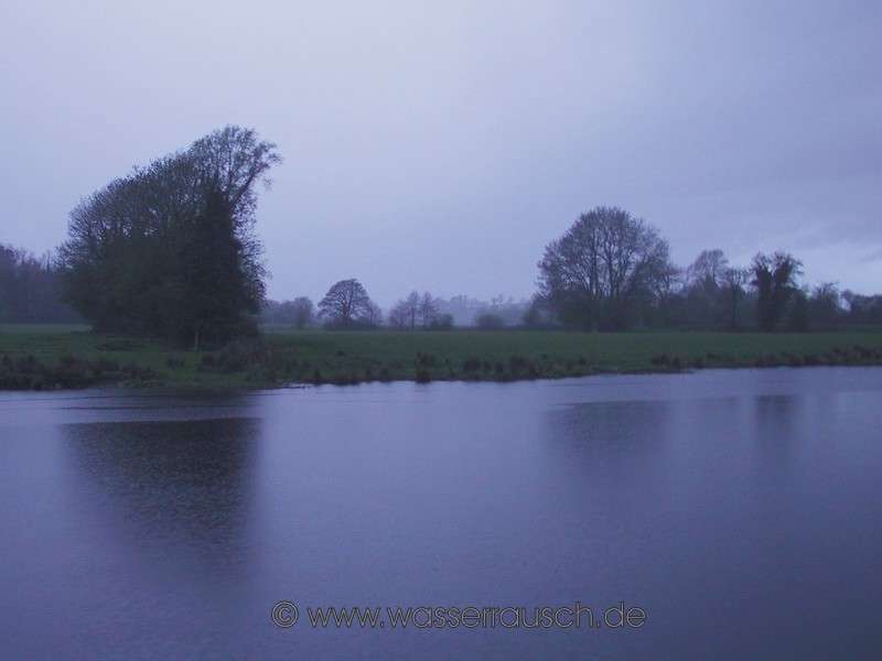
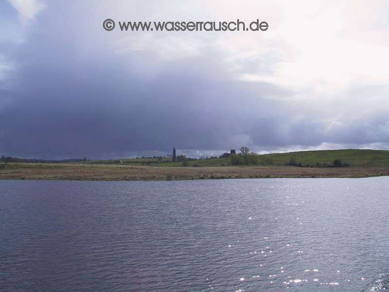
The Cuilcagh Mountains (Map 3) on the other side are clearly visible in the distance and the sun spotlights striking cliffs. We stop at Naan Island on the Upper Lough Erne. After lunch we continue on the eastern route to Carrybridge and around green drumlins further on to Tully Inishmore. The last free berth beside the "River Dancer seems like its reserved for us. A thunderstorm together with hail cools the air.
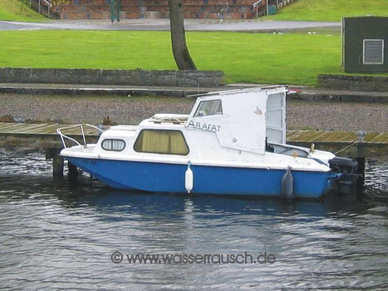
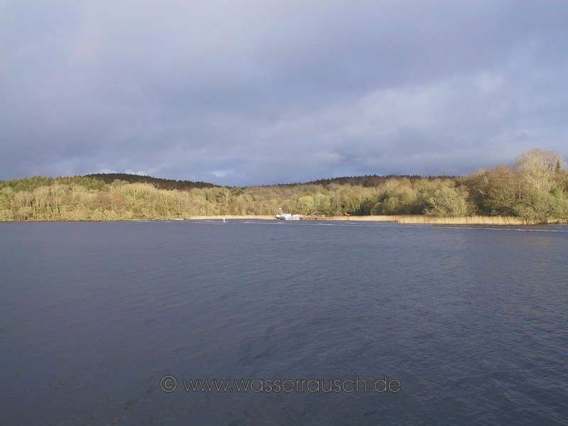
Monday 28.04.2008 Tully Inishmore Aghinver Boat Company - General´s Quay - Davy´s Island Length of boat trip: 3.8 hours Motto des Tages: Arafat and the Irish weather The morning welcomes us with a light rain but it stops when we take off. Contrary to the weather report, we have 1. a sunny day with a only a few light showers and 2. not only light wind as announced but in the afternoon the wind increases to F4-5 and even more in gusts. We drive north to Enniskillen where we discover a small boat with the unusual name "Arafat".
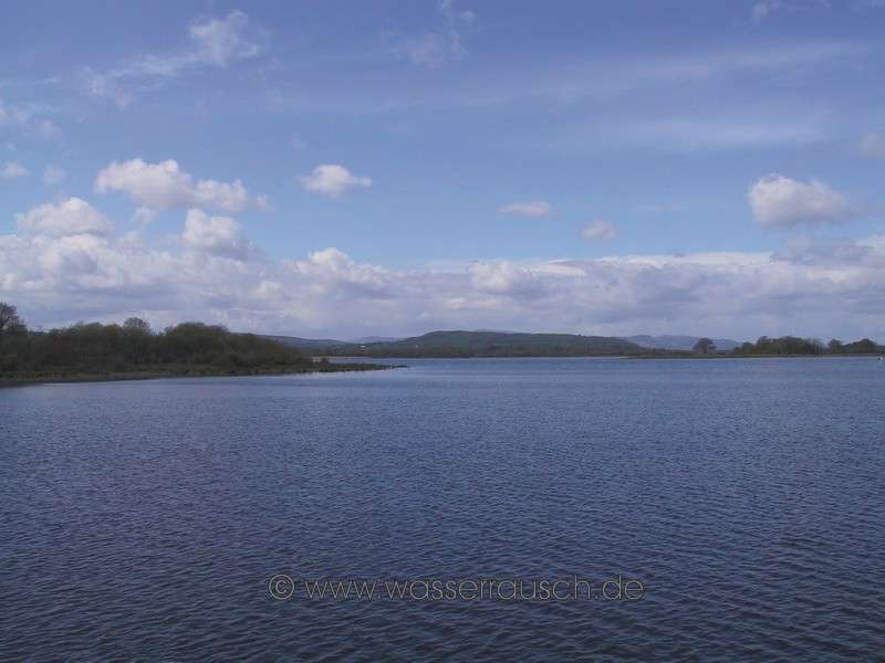
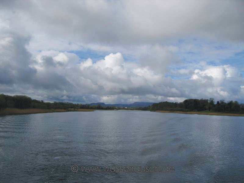
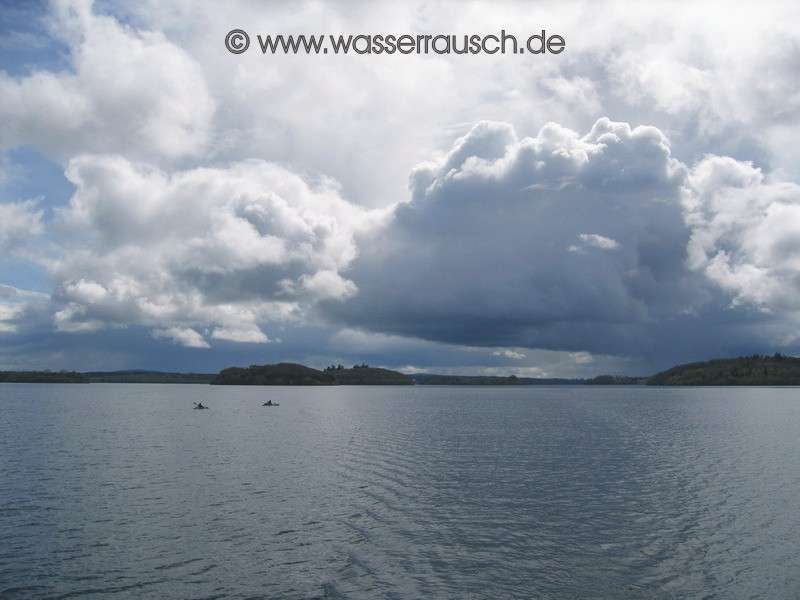
Beside many anglers of the Fishing Competition, which takes place this week, we set a course alongside Devenish Island into Lower Lough Erne, the Broad Lough.
The only boat traffic, which we meet until ABC, consists of two kayaks. At ABC we refuel for the second time this holiday and after that we moor at the General's Quay on the island of Crevinishaughty. The wind has increased and blows from NW right and left around the island and also in the late afternoon, while the weather report amazingly reports only 9 Knots at Malin Head.
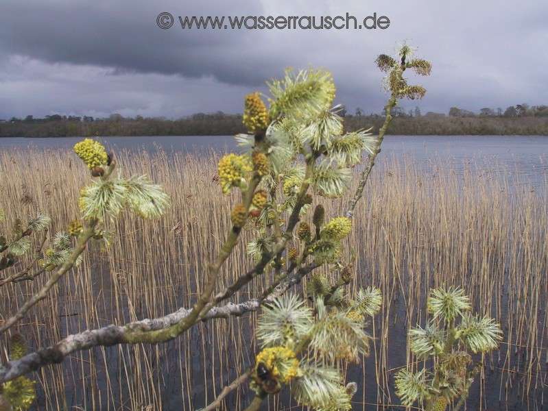
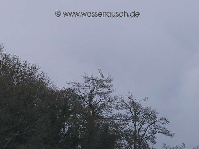
We have a short spin and moor for the night at Davy's Island, where there is a heron busy building a nest. The old galleon, which had last year blocked the visitor jetty at Castle Archdale, is located opposite Davy´s island.
|
Mainpage Wasserrausch Contact Imprint
Copyright Tina und Willi Klug 2008