 |
The boat trip in April 2008 |
|
Log book Ireland April 2008
|
|
back to the
main page |
|
|
|
|

|
Landscapes and light, old and new culture along the Erne, SEW and the northern Shannon |
|
Saturday 05.04.2008 Aghinver Boat Company - Castle Archdale - Aghinver Length of boat trip: 0.9 hours Motto of the day: Its good to be back
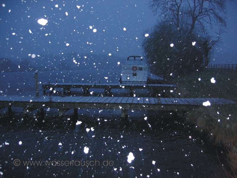
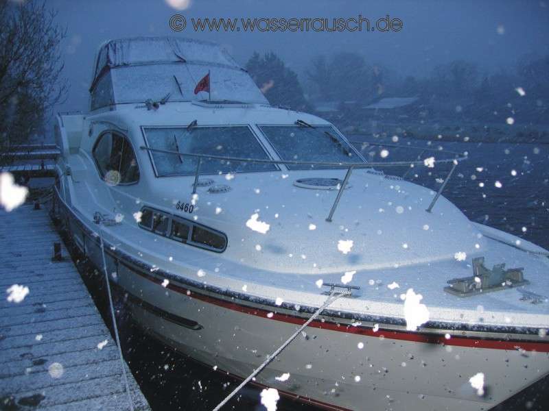
The Erne welcomes although it is unseasonally cool. Hail and snow showers accompany our moving into the excellently prepared and preheated boat, the newest Inver Duke of ABC. We can smell the tasty cheese of Corleggy-Farm wafting from the refrigerator. Liz tells us that the driver, who brought the package, was pleased when it was out of the car. We go for a spin up to the islands and then back again to Aghinver. In the night a snowstorm covers our boat with a winter coat, but having put on the heating in the evening keeps it cosy and warm inside.
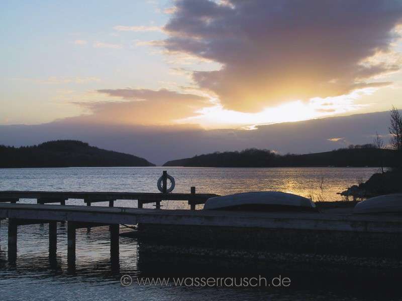
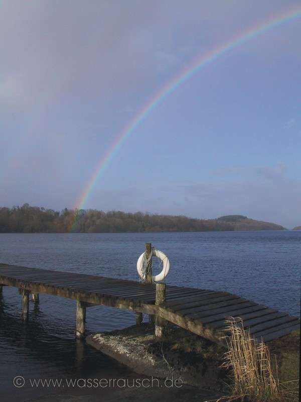
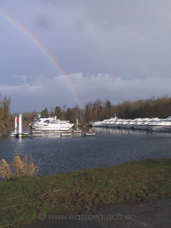
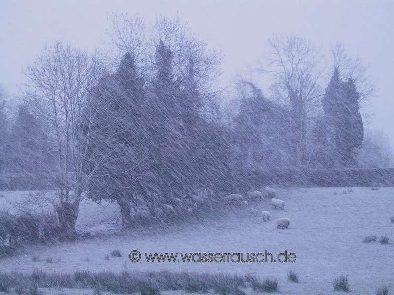
Sunday 06.04.2008 Aghinver Boat Company, Lisnarrick - Tully Inishmore Length of boat trip: 3 hours Motto of the day: A lake for us only, with F7 through Portora Lock and lambs in the snow
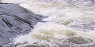
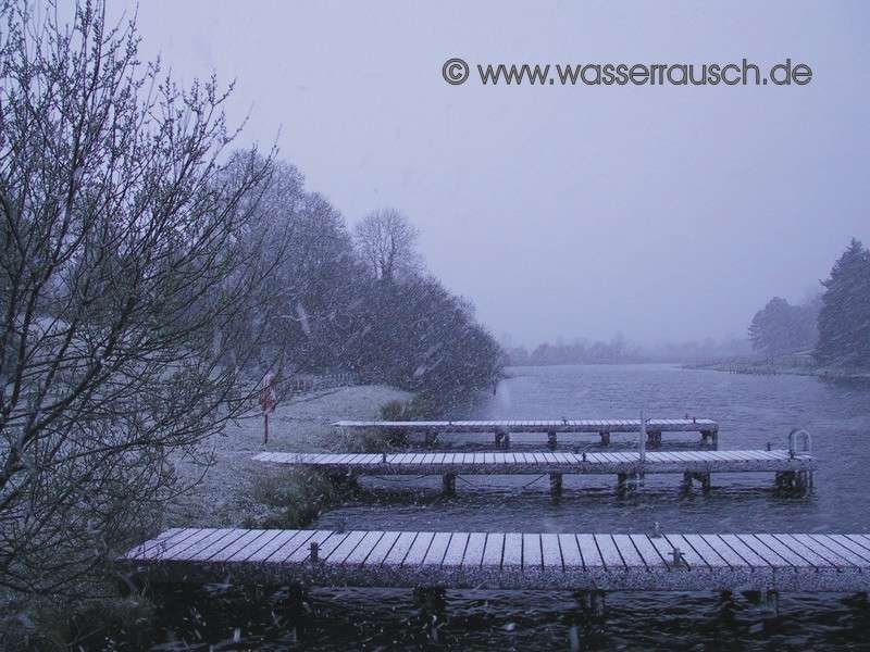
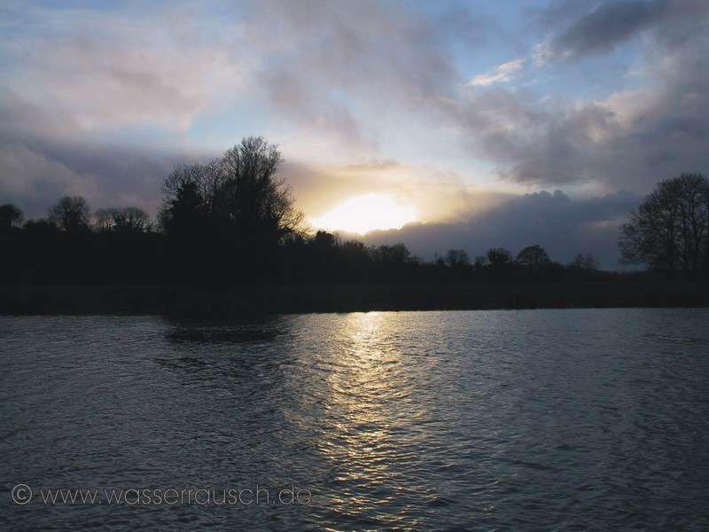
Our journey begins the next morning. The snow has thawed and we start from the northern shore on Lower Lough Erne in Lisnarrick on our four-week trip. The Lower Lough Erne (Map 1), with 109 sq km, is a large coastal lake, almost 46 m above sea level. It is 16 km long and its widest part is 6.5 km. To the locals, it is known simply as "The Broad Lough". The Aghinver Boat Company is located halfway down the west to south-east running lake. Many islands dot the lake and Aghinver is protected by some of these. Many of the 154 islands are covered with semi-natural forest. Especially in the south and east in shallower areas of the lake there are areas and bays protected by the islands. Interestingly, not only the actual islands but also some peninsulas are named as "Islands". Some islands have also several names. This due to the fact that for 80 years in the 19th Century the water level had been lowered by 1.5 m for drainage purposes and islands then merged with others or into the shore of the mainland. In the middle section of the lake, towards the west, there are no islands. Only a few, well marked shoals lie there. It is an impressive view of a large open water area. But now we let this majestic vista behind us and after a shower of rain we leave the sheltered harbour behind the islands and start in a southerly direction in a F3-4. The wind is increasing and reaches F7 when we pass Devenish Island; Daimhinis; oxs island. Irish legends tells that Jeremiah, after the destruction of Jerusalem came here and allegedly was burned to death on the island. On the top of the island are the no longer visible remains of a Ráth, a testimony to a much earlier settlement. Today, however, there are only relics of the Christian era to visit. On our way to Enniskillen we pass - as it is almost always open - Portora Lock. This place was an historic ford. In the course of drainage work in the 1950s a bronze dagger and stone axes were found. Almost four kilometres south of Devenish we reach the town of Enniskillen, Inis Ceithleann, Ceithlenn's Island. It is situated on a series of island-shaped drumlins. With its enormous weight and deposits, the ice transformed the landscape with varied drumlins of a mostly east-west direction. These shape the landscape of the shores of the Erne and also islands in the two lakes, Upper and Lower Lough Erne. The Erne now has the character of a river from the first bridge at the southern end of Lower Lough Erne, near Belleek. The name of the town of Enniskillen is related with a legend of the "Annals of Clonmacnoise". Ceithlenn (pronounced Kehlen) was, in mythology, the wife of Balor of the Evil Eye, the terrible leader of the Fomorians, one of the early settlers in Ireland. Between Belturbet and Belleek, the Erne is navigable for 84 km. Enniskillen is centrally located in between, 48.5 kilometers north of Belturbet. The city offers good shopping opportunities, which we take advantage of. We continue in a southerly direction up the Erne. In the area of Enniskillen we can also see to the west, Belmore Mountain (Map 2) with its 398 m height. It has a little rounder, shape and coniferous forests on its flanks. It can also be seen on Lower Lough Erne, at Tully Inishmore and on the Upper Lough Erne. Further south, in the western background, are the Cuilcagh ridge of mountains. Up to 665 m high, they are widely visible. They will oversee us on the Erne and even on Shannon you can see them on a day, with good visibility, nearly 50 km distance from the hills of Kilglass. The Erne winds in this river section around steep, particularly strikingly scenic drumlins. The hills are often used for grazing. Cattle and sheep populate the green fields. Between the drumlins are sinks with small lakes. Some of these are now silted up and swampy with the typical vegetation. These are particularly important in times of heavy rainfall and floods. Behind the small village, Bellalaneck, the river forks and it doesn´t matter which way you choose, because all lead to Upper Lough Erne. We take the western one and reach the jetty of Tully Inishmore, where we stay overnight.
The lambs inspect the picnic area beyond the fence; then they take shelter under the picnic table and the trees from a heavy snow shower.
But the winter dream, which is a rare experience in Ireland on a rented boat, melts in Aprils evening sun.
|
Mainpage Wasserrausch Contact Imprint
Copyright Tina und Willi Klug 2008