 |
The boat trip in September 2010 |
|
Log book Ireland September 2010
|
|
back to
main page |
|
|
|
|

|
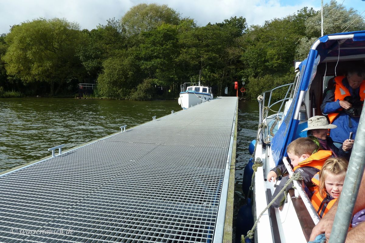
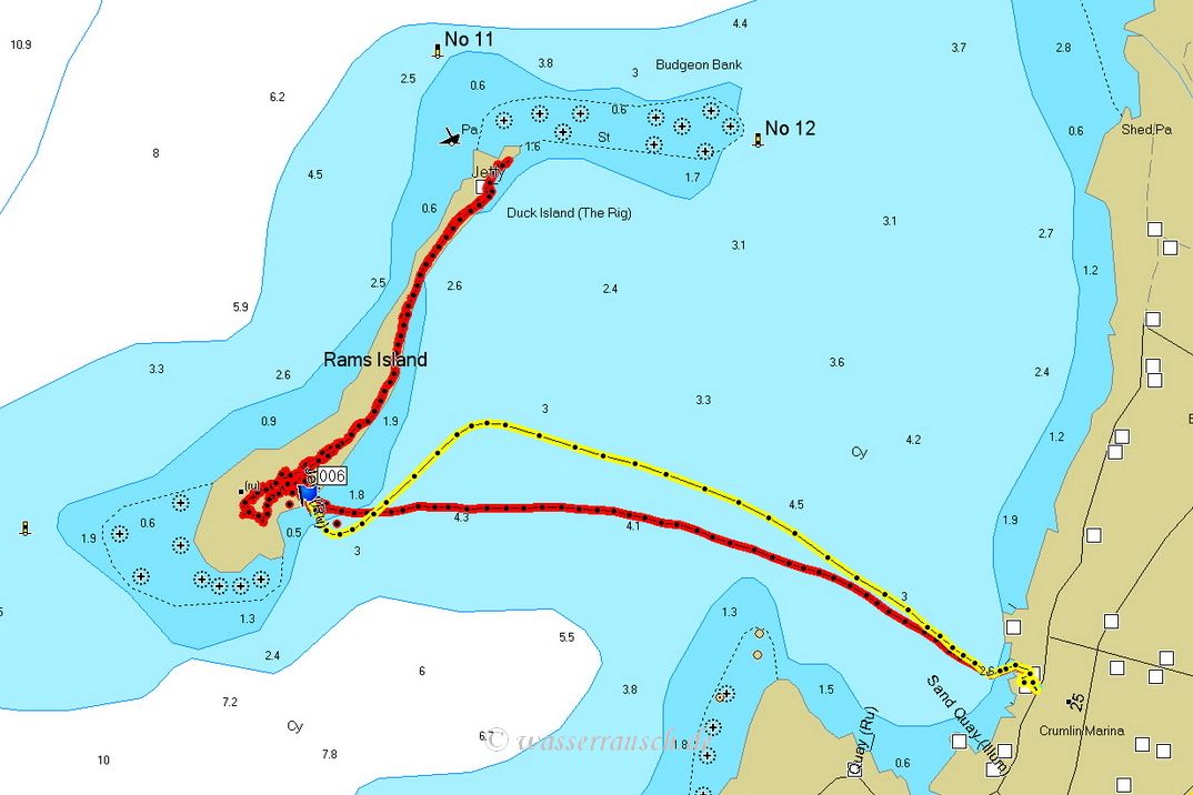
After enjoying some hours on Rams island 'Island Warrior' brings us back to Sandy Bay. You find further infos here.
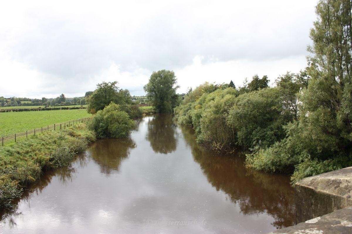
We drive back to the southwesterly shore of Lough Neagh and along the River Blackwater to Benburb.
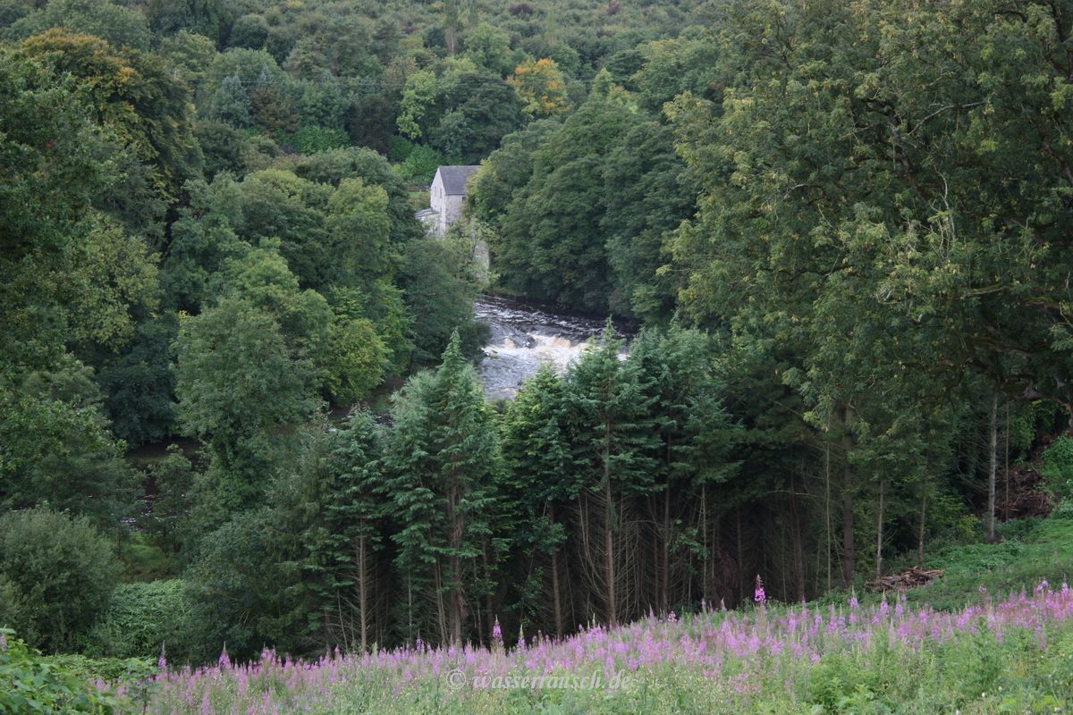
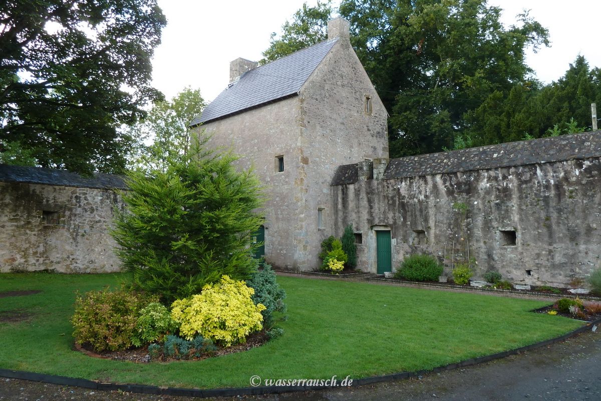
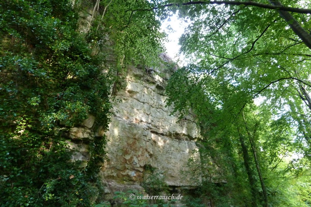
Here we enjoy delicious food in the Priory House Restaurant & Bistro. After this refreshment we walk along the castle down the precipitous slopes and limestone cliffs to the Blackwater valley.
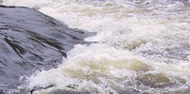
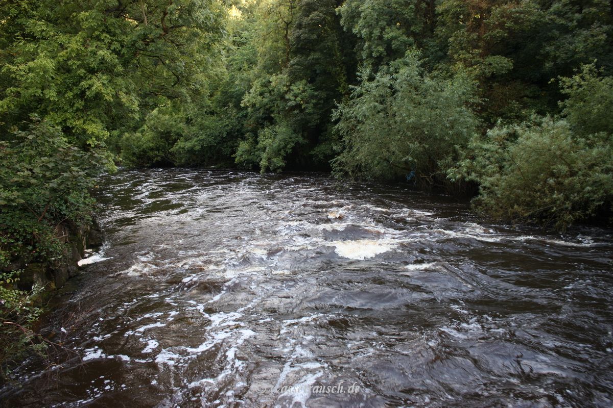
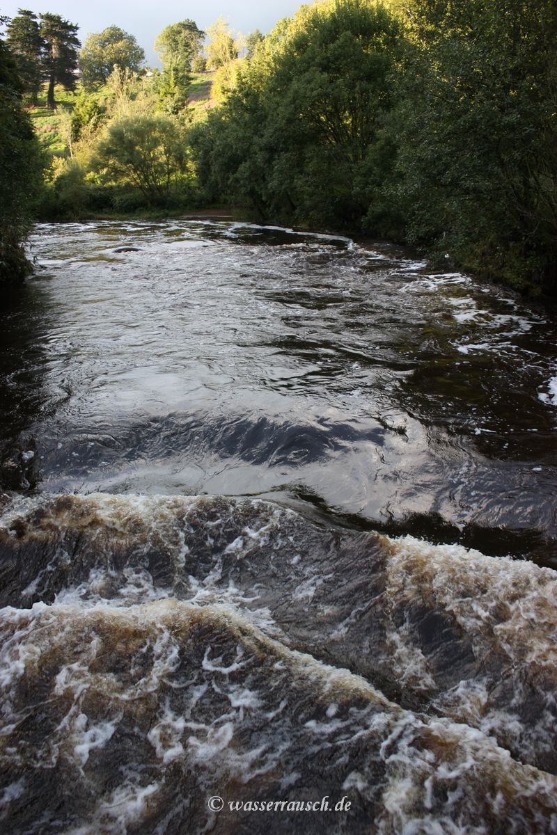
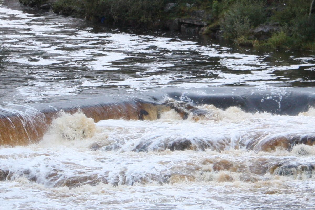
The rainfall of the past days has raised the water level and masses of water are flowing over rocks and weirs.
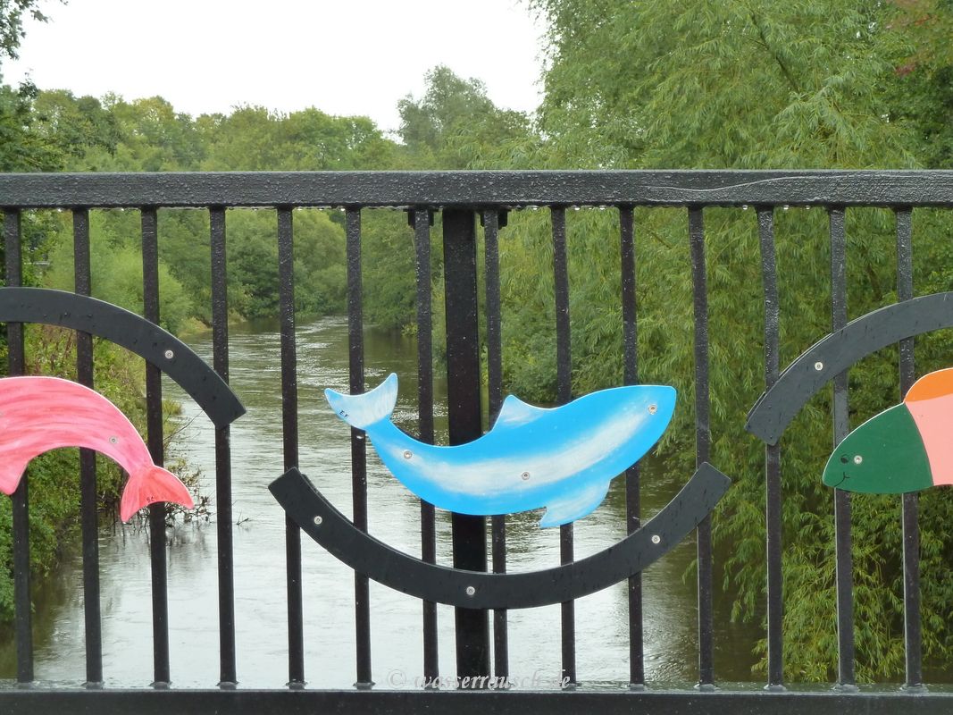
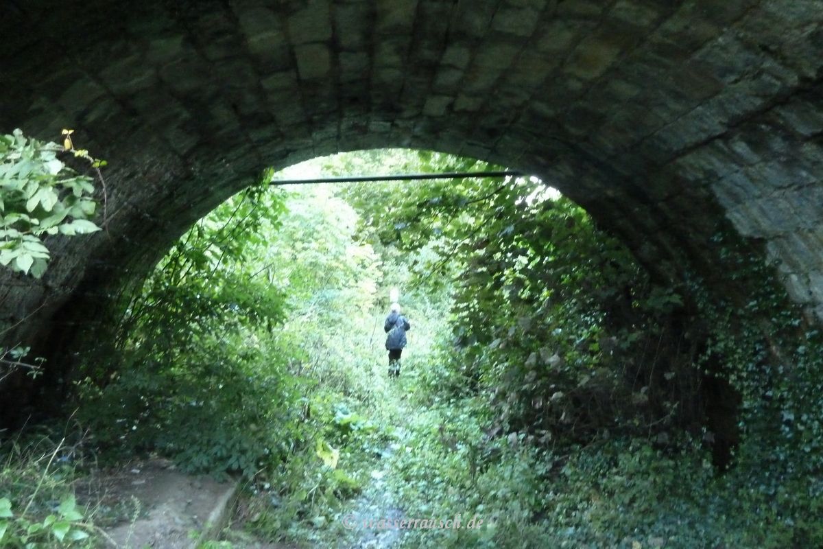
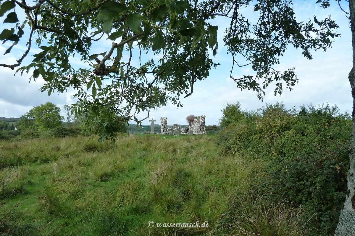
We walk along beside old mill streams and on the disused Ulster Canal above the river. We take shelter from a heavy shower under an old Ulster Canal bridge before we walk back and drive back to Aghinver on Lower Lough Erne. Here we are welcomed by a firework in the neighbouring bay.
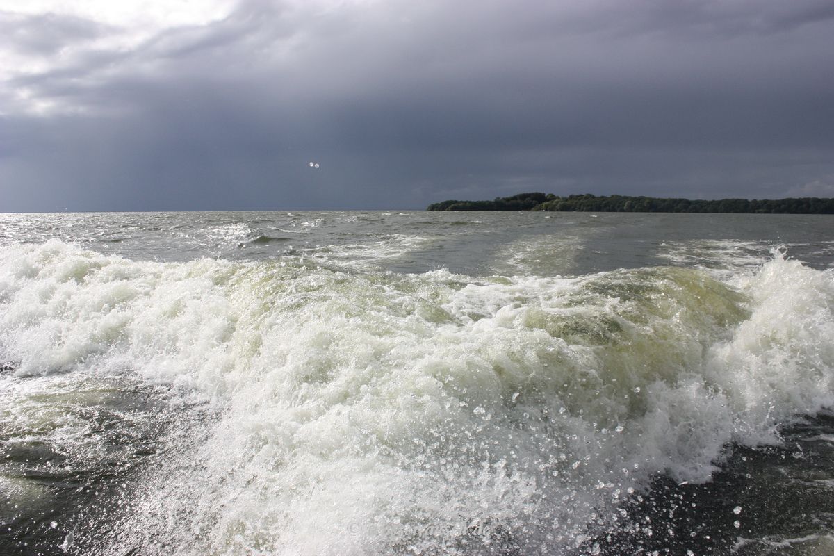
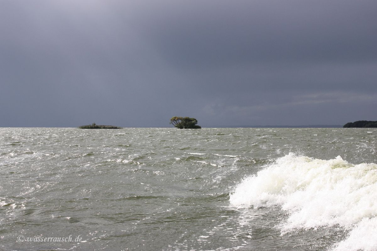
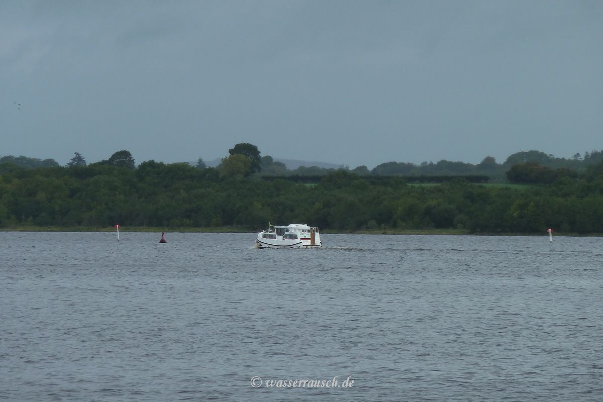
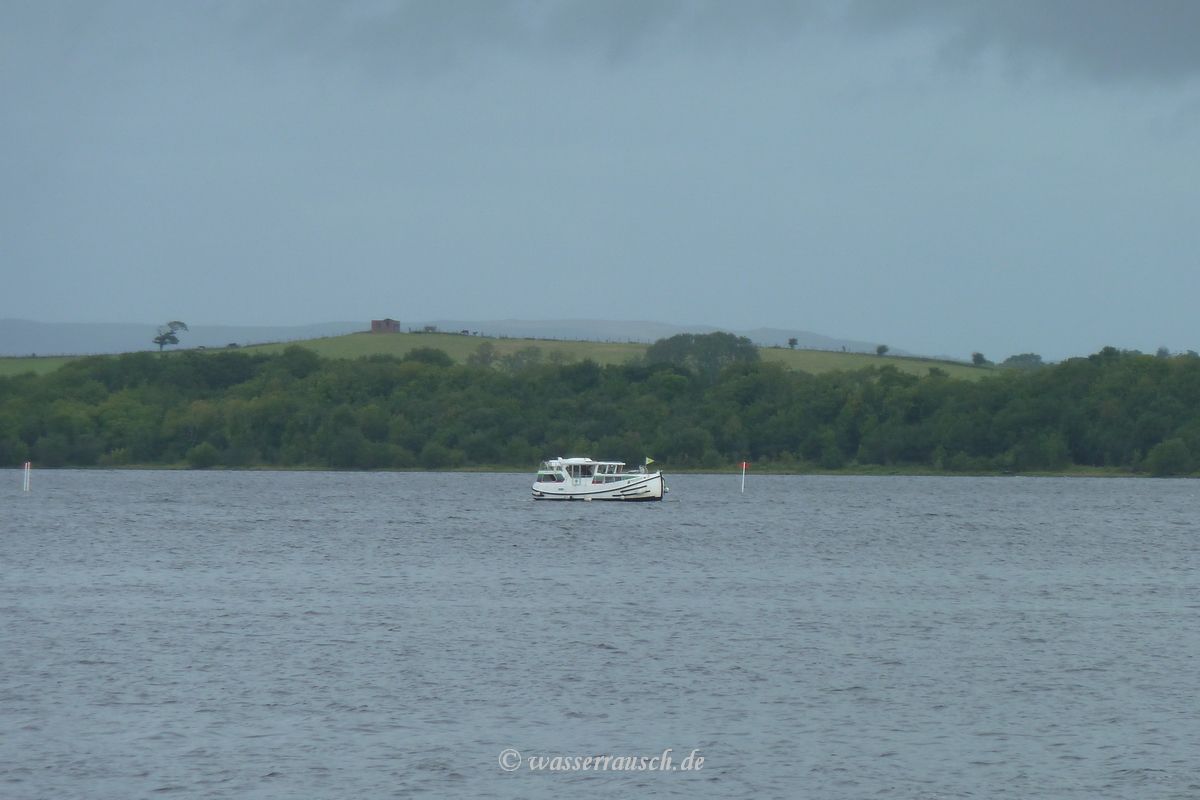
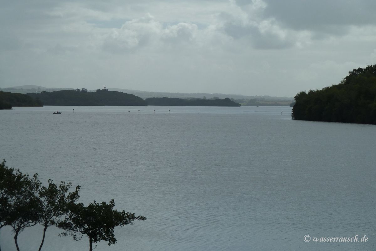
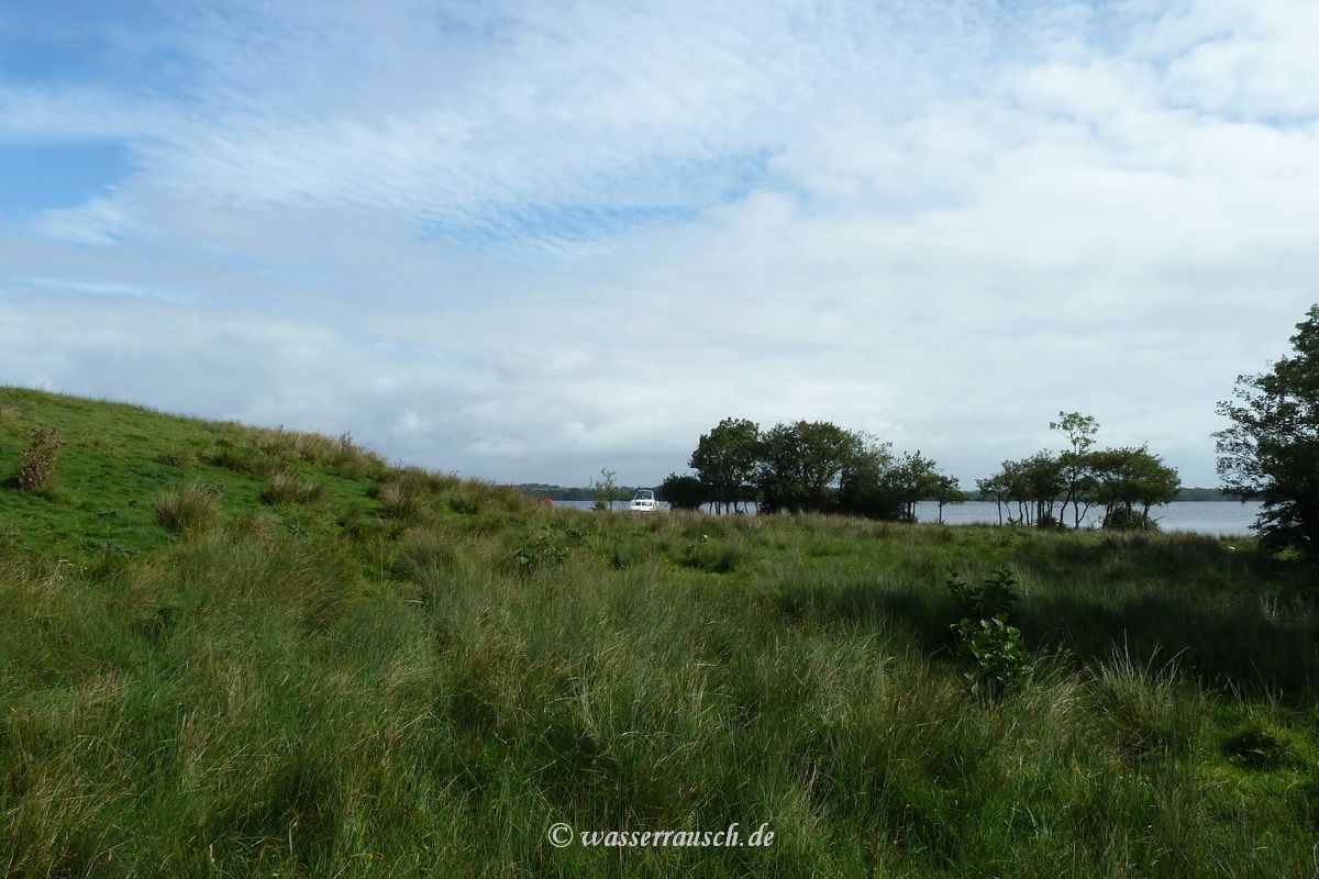
Sunday 12/09/2010 Aghinver - Inishmacsaint - Tully Inishmore 4.3 hours Random boating The day starts dry and the wind is moderate. We drive to Inishmacsaint. On our way around Owl Island we spot a barge of Locaboat very close to marker 54C at Inish Davar and then heading north. The skipper heads for the marker field 55J and tries to drive through the marker field. Then he suddenly stops or is stopped. He turns backwards and heads towards the red marker of the shallows east of Inishmacsaint and drives very close to it around marker 53A back to Enniskillen. He was lucky, no damage or hole happened. Again we have watched a manoeuvre that shows it is difficult to navigate at spots on the Erne.
We moor at Inishmacsaint for a break. I have a nice talk with Harry, a boater beside us at the jetty, about the navigation.
The sun breaks through but also the wind increases. So we decide in the afternoon to go upstream to Tully Inishmore.
|

Mainpage Wasserrausch Contact Imprint
Copyright Tina und Willi Klug 2010