 |
 |
The boat trip in April 2008 |
|
Log book Ireland April 2008
|
|
|
|
|
8
|
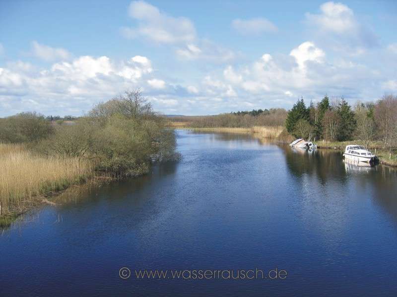
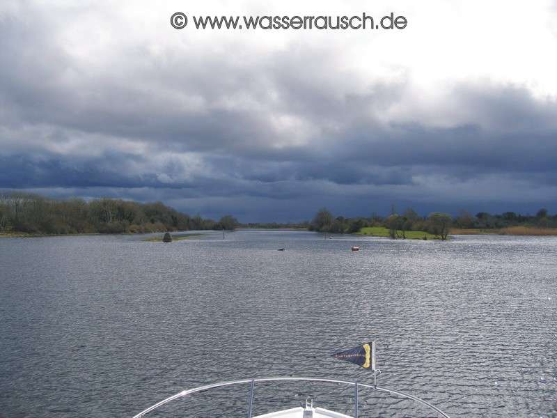
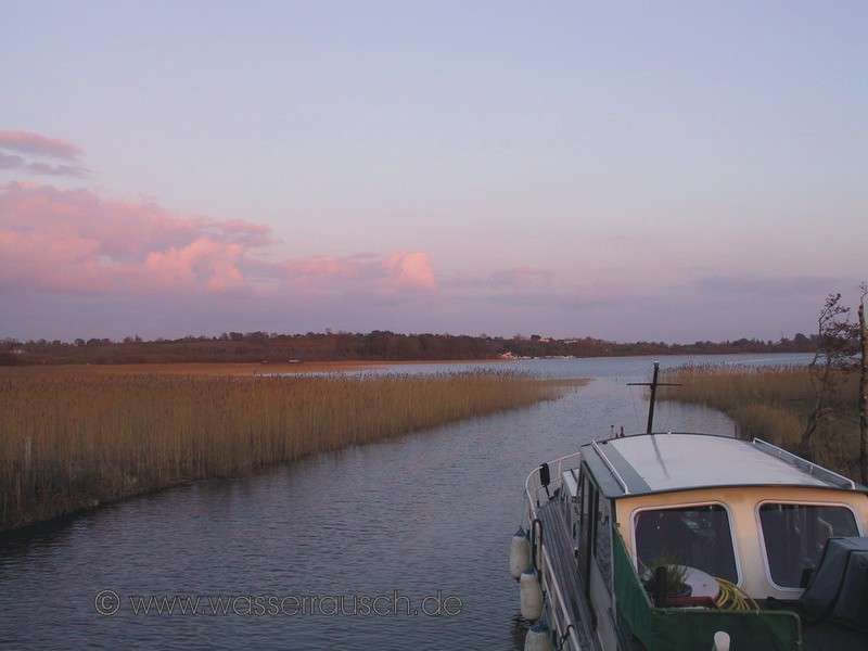
Friday 11.04.2008 Carnadoe Quay - Roosky - Tarmonbarry - Lanesborough Length of boat trip: 4.6 hours Motto of the day : The first kingfisher on the Shannon, red ropes and hail We are welcomed with a sunny morning after a cold night. A kingfisher flies through the bridge. On the other side of this is a half-sunken boat. Such things hurt a boater’s soul. We leave Carnadoe Quay and cross Lough Boderg and then Bofin Lough, whose bays emanating from the north can give inexperienced boaters problems sometimes. We leave the lake in a southerly direction. The river is narrower here and we reach the village of Roosky; Rusky; Rúscaigh; with a lifting bridge and lock. We are glad to see Tony, the lock keeper; he is not retired despite rumours to the contrary. The red bollards are freshly painted and discolour our ropes. After leaving the lock a heavy hail shower comes, so we moor below the lock. Later we drive on in the sun. But the sky in the south promises more rain, and it arrives when beyond Termonbarry .
South of Roosky and Lough Forbes, the drumlins get rarer, although we are still in the Drumlin Belt. In Termonbarry, Tearmann Berach, Chapel of St. Berach we pass through the next lifting bridge and lock. The Shannon now flows through a bog landscape, where there is large-scale peat extraction. In a flat landscape, 262 m high Slieve Bawn (Map 5) rises to the west. This flat landscape was probably part of a postglacial larger Lough Ree. "Mushroom Stones", formed by waves in an earlier epoch, found on the west side of Lough Ree and near Athlone, show us that in past times the water level was up to 5 m above the present summer level. These mushroom-shaped stones are, like the sea floor and the northern part of the river, made of limestone, the ice and later rivers having eroded them. The second largest lake on the Shannon, Lough Ree, lies south of Lanesborough (named after the Lane family, in Irish also Beal Atha Liag; Mouth of the Ford). In Lanesborough, we moor at the floating jetty and again as the only boat. In the evening it is raining with small breaks but that doesn’t disturb us.
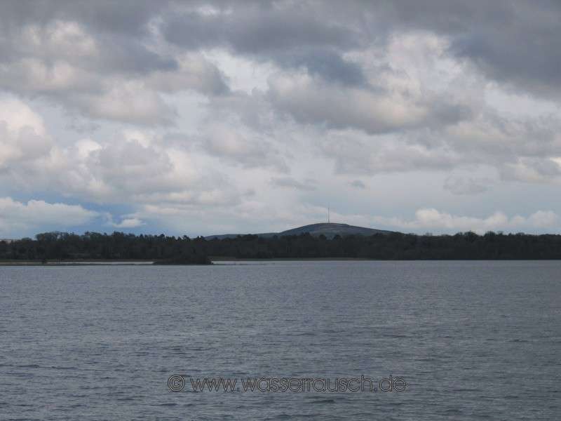
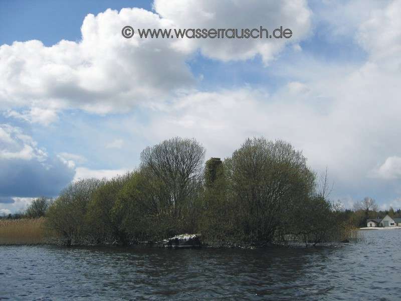
Saturday 12.04.2008 Lanesborough - John Joe´s Marina, Inner Lakes Length of boat trip: 3.6 hours Motto of the day: Lough Ree and its Druid stones The morning is rainy, but it stops when we start and the day will be dry. First, we have a F3 and later a F4 from the side on Lough Ree to the south. With Lough Ree; Loch Rí; lake of the King, we also reach the transition from the Drumlin Belt to the moraine and esker dominated Midlands. The hills around Lough Ree are rather low and do not reach much more than 100 m. Only on the western shores, in the background in the direction of Knockcroghery, are some slightly higher (Map 6) . There are 52 islands in the lake. Lough Ree has numerous shallow, rocky and with reeds covered bays along its banks. Where the moraines and eskers meet Lough Ree in the east are the protected Inner Lakes with Killinure Lough, Coosan Lough and Ballykeeran Lough. Whilst the drumlins were formed by ice, the moraines and eskers were deposits of melting water. We reach the Midlandian Moraine (east of Lough Ree) at the end of the Midland Drumlin Belt. This terminal moraine, which is lying across Ireland in a principally east-west direction, marks one of the last major glacial halts. South of the Midlandian Moraine, wide bogs shape the landscape, interrupted by eskers, where the Shannon flows through south of Athlone and has created its major flooding area, the Shannon Callows. One of the first eskers of the middle Shannon can be found in the Inner Lakes, (reed-dominated small lakes in the southeast of Lough Ree). From west to east lies a ridge of rubble and sand masses on Horse Island and Friars Island. Going from Killinure Lough to Cossan Lough, you go through it. Eskers are glacial-fluvial deposits of melting water in crevasses, which in the retreat of the ice were deposited on the ground. Their elongated shape is parallel to the flow of the ice and often a few hundred metres long. We reach the small but idyllic, in reeds located, John Joe's Marina and as agreed by Norbert, whose boat is moored here, he and also John Joe, who is so kind to let us stay here overnight as guests, give us a friendly welcome. The evening is going to be long and we have a lot to tell each other.
Sunday 13.04.2008 John Joe´s Marina - Hodson Bay - John Joe´s Marina Length of boat trip: 2.6 hours Motto of the day: Red Breast in the sun, the boat on the Pillar and the wrong side of the markers Today we have a relaxing start. We set off around noon with Norbert, towing his dinghy to Hodson Bay. Here we meet a nice man on his boat. He has this kind of Irish understatement, which I like so much and we chat about this and that. Sadly, this understatement is getting more and more rare in these times of the Celtic Tiger. We have a few Red Breasts on the quay and enjoy the sunshine. We want to go for a dinghy trip to Hodson Pillar, one of the many ”centres of Ireland”. As we have no outboard engine, we will have to row. But Michael will help. He lends us his engine. Many thanks from here again to Ballinasloe! With this we chug to the Pillar and in fact, Stuart hasn’t hoaxed me last year. On the top of the stone tower is located a small stone boat. It does seem to date from 1796 and the pillar and the carved stone boat were probably used as the base of a beacon (Peter Harbison) or a weather vane (Stuart McNamara).
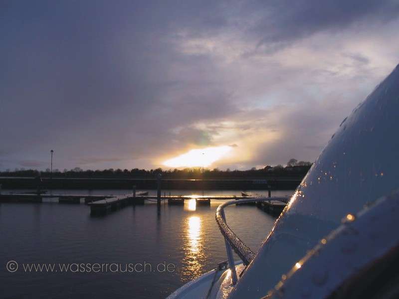
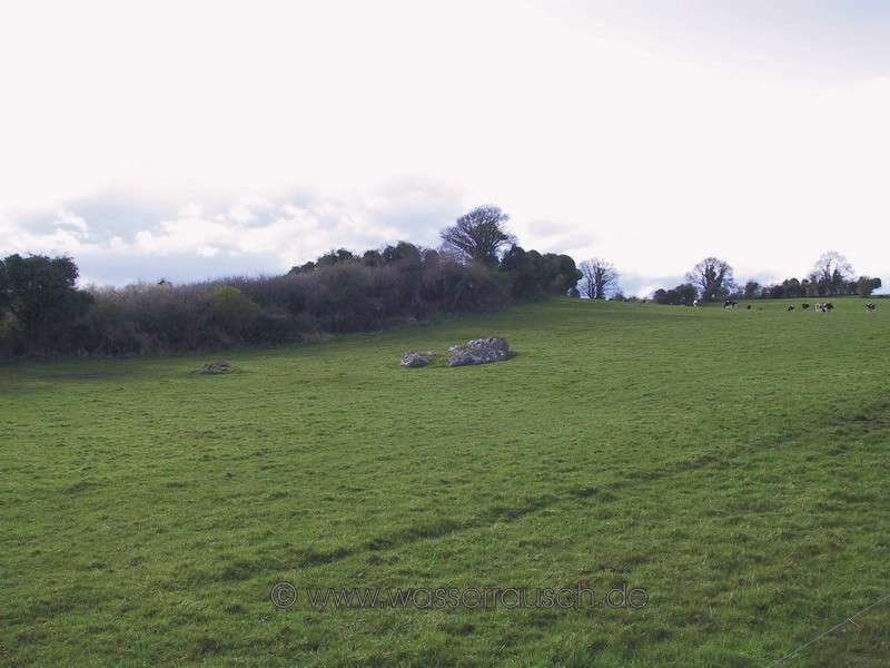
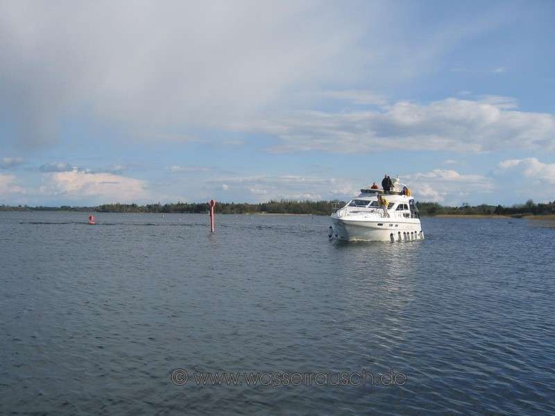
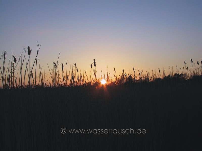
Another “centre of Ireland” is a special Bronze Age stone on a hill, the Stone of Divisions; Ail na Mírenn; stone of the subdivisions; marking the boundaries of Connacht, Leinster, Ulster and Munster. We let the wind push us back, paddle and return to port. The sun and the atmosphere invite us to relax and have a look at the colourful goings on, on the water and in the port. The skipper of a 42-foot boat goes confidently on the wrong side of the marker and cuts his own wake. The water level is high and so he is lucky that he doesn’t go aground. Finally, we leave Hodson Bay and return to the Inner Lakes, Dermot is crossing behind us with his probably seasick crew. We spend another night at John Joe’s Marina and see a beautiful sunset in the reeds. |
Mainpage Wasserrausch Contact Imprint
Copyright Tina und Willi Klug 2008

